Katipunan Avenue, Quezon City
Map

Map

Facts and practical information
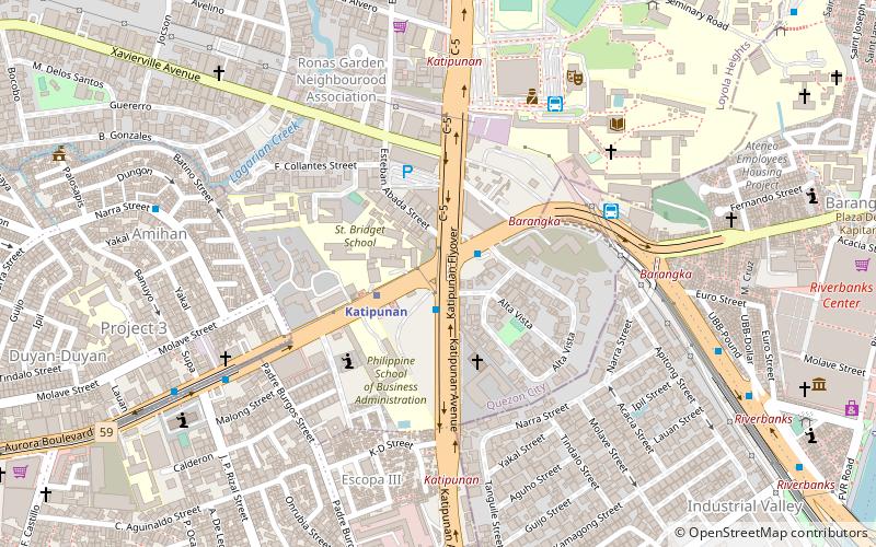
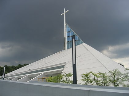
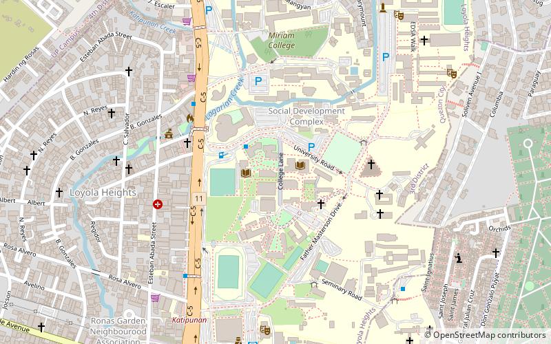
Katipunan Avenue is a major avenue in Quezon City, Metro Manila, Philippines. It runs in a north–south direction from the University of the Philippines Diliman, intersecting with Tandang Sora Avenue at its northernmost point, down to the Manila Philippines Temple of The Church of Jesus Christ of Latter-day Saints, intersecting with White Plains Avenue at its southernmost point. ()
Coordinates: 14°37'53"N, 121°4'26"E
Day trips
Katipunan Avenue – popular in the area (distance from the attraction)
Nearby attractions include: SM City Marikina, Ali Mall, Marcos Bridge, Church of the Gesù.
Frequently Asked Questions (FAQ)
Which popular attractions are close to Katipunan Avenue?
Nearby attractions include Novaliches Cathedral, Quezon City (6 min walk), Manila Observatory, Quezon City (11 min walk), Ateneo Art Gallery, Quezon City (16 min walk), Ateneo de Manila University, Quezon City (17 min walk).
How to get to Katipunan Avenue by public transport?
The nearest stations to Katipunan Avenue:
Bus
Metro
Bus
- Katipunan • Lines: 19, 203, 38, 8, Qc3 (2 min walk)
- Superlines Bus Depot (7 min walk)
Metro
- Katipunan • Lines: 2 (3 min walk)
- Anonas • Lines: 2 (17 min walk)


