Plaza de Armas, Manila
Map

Map

Facts and practical information
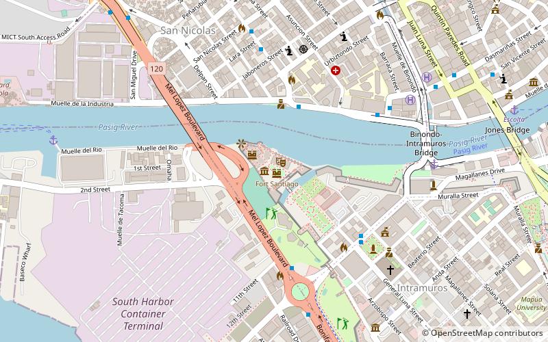
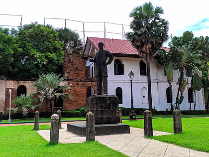
The Plaza de Armas is a public square in Intramuros, Manila. The central plaza of Fort Santiago, it is one of three major plazas in Intramuros, the others being the central Plaza de Roma outside the fort grounds, and Plaza Moriones, a larger plaza outside Fort Santiago which was once a military promenade before it was closed in the 1863 earthquake that devastated Manila. While Plaza Moriones is outside the walls of Fort Santiago, both plazas are often misconstrued for the other. ()
Address
IntramurosManila
ContactAdd
Social media
Add
Day trips
Plaza de Armas – popular in the area (distance from the attraction)
Nearby attractions include: Fort Santiago, Manila Cathedral, 168 Shopping Mall, San Agustin Church.
Frequently Asked Questions (FAQ)
Which popular attractions are close to Plaza de Armas?
Nearby attractions include Rizal Shrine, Manila (1 min walk), Fort Santiago, Manila (2 min walk), Ayuntamiento de Manila, Manila (7 min walk), Plaza de Roma, Manila (7 min walk).
How to get to Plaza de Armas by public transport?
The nearest stations to Plaza de Armas:
Bus
Ferry
Light rail
Metro
Bus
- San Nicolas • Lines: T330 (5 min walk)
- Intramuros • Lines: 2, P2P UBE-Robinsons (6 min walk)
Ferry
- Escolta • Lines: Pasig River Ferry (14 min walk)
- Lawton • Lines: Pasig River Ferry (20 min walk)
Light rail
- Central Terminal • Lines: 1 (21 min walk)
- Carriedo • Lines: 1 (21 min walk)
Metro
- Recto • Lines: 2 (29 min walk)


