Remedios Circle, Manila
Map

Map

Facts and practical information
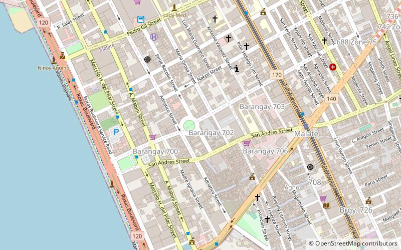
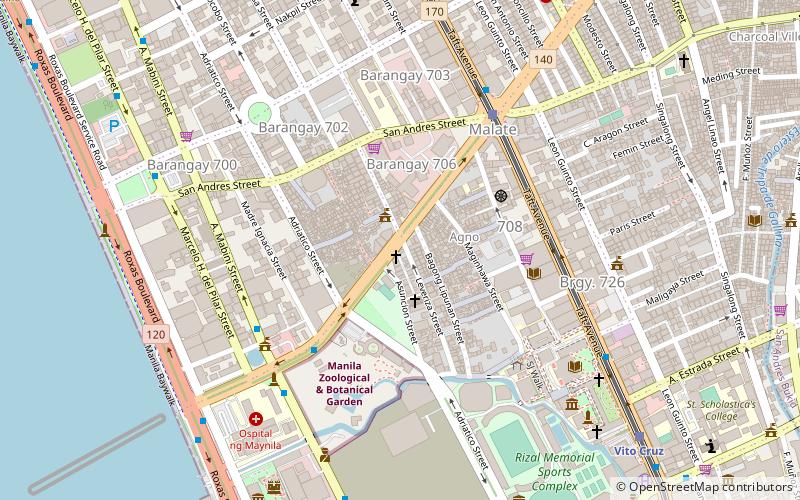
Remedios Circle, also known as the Plaza de la Virgen de los Remedios, Remedios Rotonda, and Rotary Circle, is a traffic circle in Malate, Manila in the Philippines, serving as the intersection between Remedios Street, Jorge Bocobo Street and Adriatico Street. The circle and a traversing street are both named after Nuestra Señora de los Remedios, the patroness of the nearby Malate Church, and is one of two major open spaces in Malate, the other being Plaza Rajah Sulayman. ()
Elevation: 23 ft a.s.l.Coordinates: 14°34'13"N, 120°59'13"E
Address
Remedios StMalateManila 1004
Contact
+63 2 524 7141
Social media
Add
Day trips
Remedios Circle – popular in the area (distance from the attraction)
Nearby attractions include: Robinsons Place Manila, Manila Zoo, Metropolitan Museum of Manila, Jesus Is Lord Church Worldwide.
Frequently Asked Questions (FAQ)
Which popular attractions are close to Remedios Circle?
Nearby attractions include Adriatico Street, Manila (3 min walk), Plaza Rajah Sulayman, Manila (6 min walk), Jesus Is Lord Church Worldwide, Manila (7 min walk), St. Paul University Manila, Manila (7 min walk).
How to get to Remedios Circle by public transport?
The nearest stations to Remedios Circle:
Bus
Light rail
Train
Bus
- Malate Church • Lines: 312, T378 (5 min walk)
- Sinagoga • Lines: 312, T378 (7 min walk)
Light rail
- Quirino • Lines: 1 (8 min walk)
- Pedro Gil • Lines: 1 (12 min walk)
Train
- San Andres (22 min walk)
- Paco (26 min walk)


