Baluarte de San Diego, Manila
Map

Map

Facts and practical information
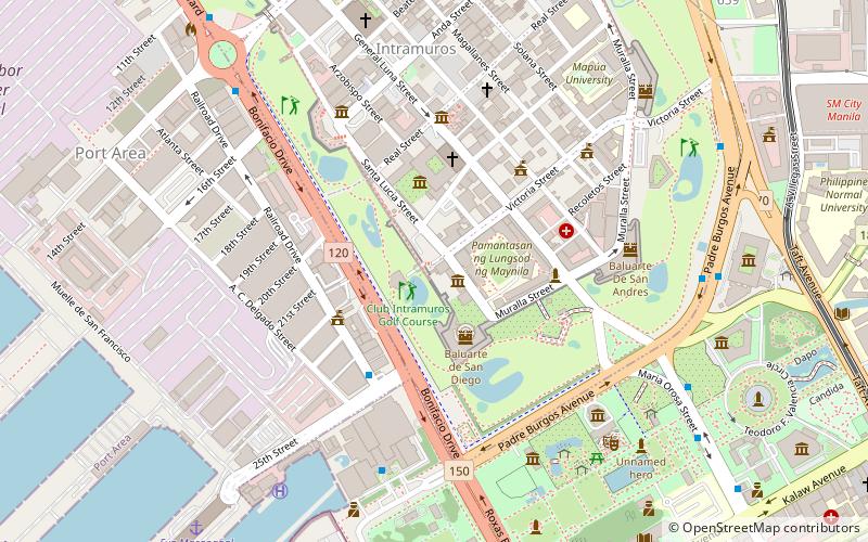
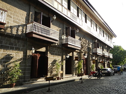
The Baluarte de San Diego is a bastion in Intramuros, part of the Spanish colonial fortification in the walled city of Manila in the Philippines. ()
Completed: 1587 (439 years ago)Elevation: 26 ft a.s.l.Coordinates: 14°35'12"N, 120°58'30"E
Day trips
Baluarte de San Diego – popular in the area (distance from the attraction)
Nearby attractions include: Manila Ocean Park, Manila Cathedral, San Agustin Church, Rizal Monument.
Frequently Asked Questions (FAQ)
Which popular attractions are close to Baluarte de San Diego?
Nearby attractions include University of the City of Manila, Manila (3 min walk), Cuartel de Santa Lucia, Manila (4 min walk), Caloocan Cathedral, Manila (4 min walk), San Agustin Church, Manila (4 min walk).
How to get to Baluarte de San Diego by public transport?
The nearest stations to Baluarte de San Diego:
Bus
Light rail
Ferry
Metro
Bus
- Manila Hotel • Lines: P2P UBE-Robinsons (7 min walk)
- Intramuros • Lines: 2 (10 min walk)
Light rail
- Central Terminal • Lines: 1 (16 min walk)
- United Nations • Lines: 1 (18 min walk)
Ferry
- Escolta • Lines: Pasig River Ferry (18 min walk)
- Lawton • Lines: Pasig River Ferry (20 min walk)
Metro
- Recto • Lines: 2 (34 min walk)
- Legarda • Lines: 2 (39 min walk)


