Magsaysay Boulevard, Manila


Facts and practical information
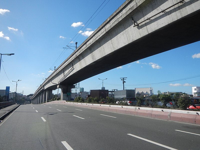
Ramon Magsaysay Boulevard, also known simply as Magsaysay Boulevard and formerly as Santa Mesa Boulevard, is the principal artery of Santa Mesa in Manila, Philippines. It is a six-lane divided roadway that travels east–west from Gregorio Araneta Avenue near the city's border with Quezon City and San Juan to Lacson Avenue and the Nagtahan Interchange, close to the district of San Miguel. The entire length of the boulevard serves as the boundary between Sampaloc in the north and Santa Mesa in the south with the LRT Line 2 running along its median. East of Gregorio Araneta, the road continues as Aurora Boulevard while west of Lacson, it extends as Legarda Street via Legarda Flyover into San Miguel and Quiapo. ()
Magsaysay Boulevard – popular in the area (distance from the attraction)
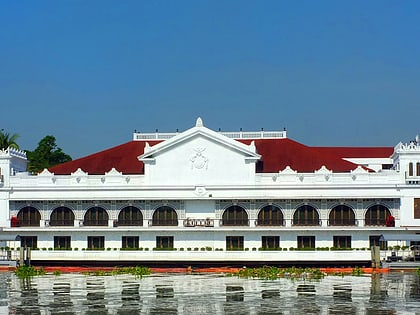
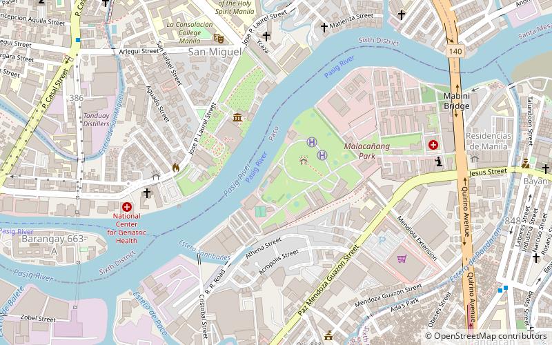
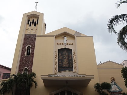
Nearby attractions include: Malacañang Palace, Our Lady of Montserrat Abbey, Mabini Shrine, Bahay ng Pagbabago.
Frequently Asked Questions (FAQ)
Which popular attractions are close to Magsaysay Boulevard?
How to get to Magsaysay Boulevard by public transport?
Train
- Santa Mesa (4 min walk)
- Pandacan (21 min walk)
Bus
- Old Santa Mesa • Lines: 10 (4 min walk)
- Teresa • Lines: 307 (8 min walk)
Metro
- Pureza • Lines: 2 (7 min walk)
- V. Mapa • Lines: 2 (15 min walk)
Ferry
- Pup • Lines: Pasig River Ferry (12 min walk)
- Lambingan • Lines: Pasig River Ferry (31 min walk)


