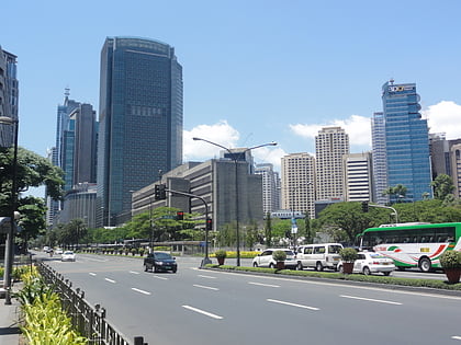
Gil Puyat Avenue, Makati
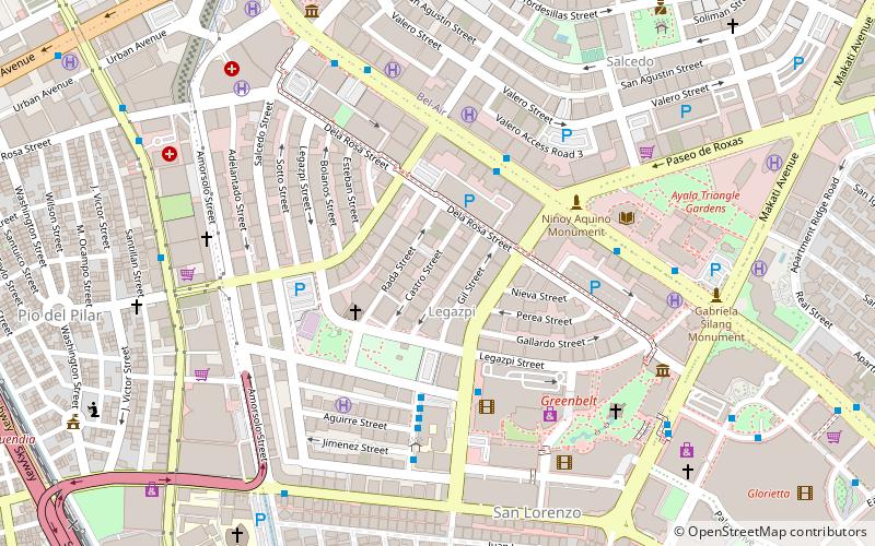
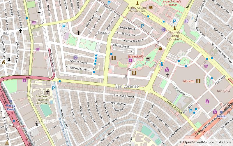
Map
Gallery
Facts and practical information
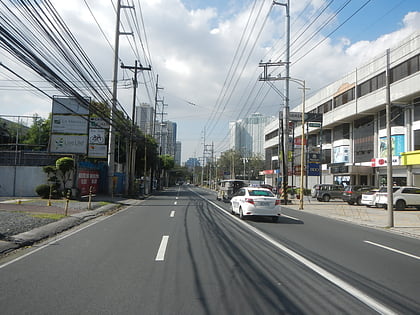
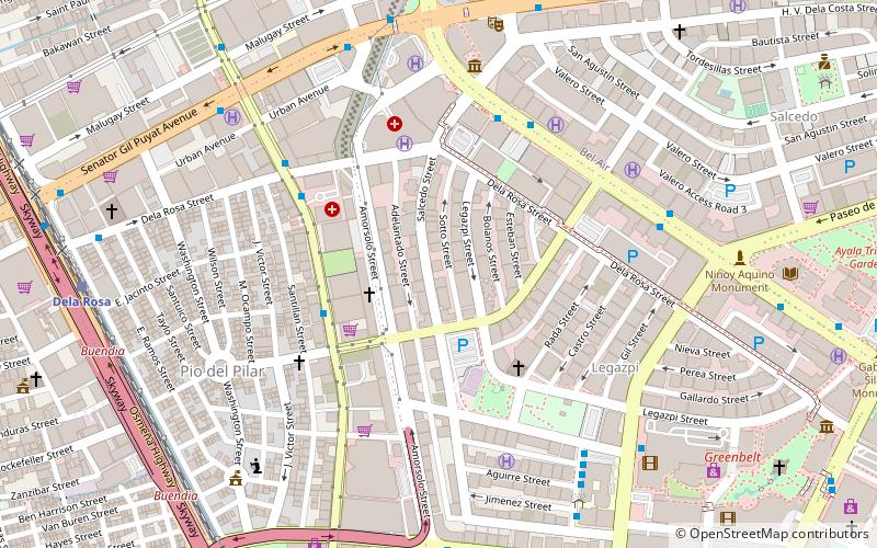
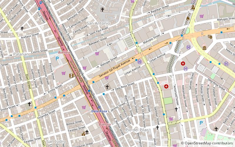
Senator Gil J. Puyat Avenue, also known simply as Gil Puyat Avenue and formerly and still referred to as Buendia Avenue, is a major arterial thoroughfare which travels east–west through the cities of Makati and Pasay in western Metro Manila, Philippines. It is one of the busiest avenues in Metro Manila linking the Makati Central Business District with the rest of the metropolis. ()
Length: 3.36 miCoordinates: 14°33'31"N, 121°0'36"E
Address
Makati District 1 (Pio del Pilar)Makati
ContactAdd
Social media
Add
Day trips
Gil Puyat Avenue – popular in the area (distance from the attraction)
Nearby attractions include: Ayala Avenue, Legazpi Active Park, Salcedo Park, Washington SyCip Park.
Frequently Asked Questions (FAQ)
Which popular attractions are close to Gil Puyat Avenue?
Nearby attractions include Exportbank Plaza, Makati (4 min walk), Chino Roces Avenue, Makati (10 min walk), Salcedo St, Makati (11 min walk), Amorsolo Street, Makati (11 min walk).
How to get to Gil Puyat Avenue by public transport?
The nearest stations to Gil Puyat Avenue:
Bus
Train
Light rail
Ferry
Bus
- Chino Roces • Lines: 13, 14, 15, 15C, 15M, 16 (3 min walk)
- Citiland Dela Rosa/Dela Rosa Station • Lines: T369 (4 min walk)
Train
- Dela Rosa (5 min walk)
- Pasay Road (17 min walk)
Light rail
- Gil Puyat • Lines: 1 (24 min walk)
- Libertad • Lines: 1 (28 min walk)
Ferry
- Valenzuela • Lines: Pasig River Ferry (39 min walk)

