Caramoan National Park
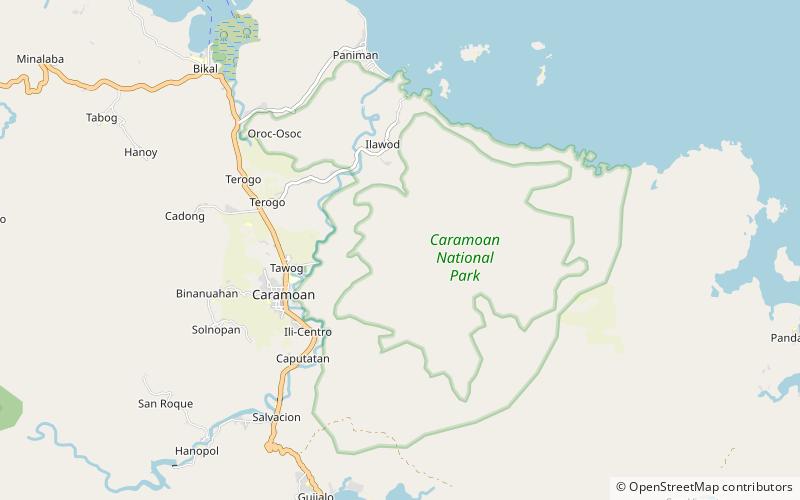
Map

Gallery

Facts and practical information
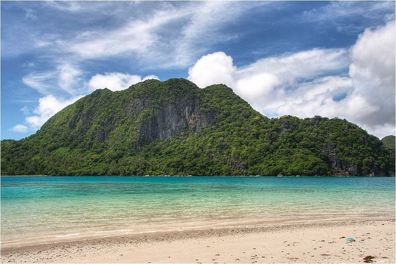
The Caramoan National Park is a 347-hectare national park and protected area in Camarines Sur, Philippines. It was established in 1938. The park has caves, limestone formations, white sandy beaches, an islet lake and a subterranean river, make it popular with tourists. It is accessible by public transport from the municipality of Caramoan, and local people have established trails in the park for visitors. ()
Alternative names: Established: 1938 (88 years ago)Area: 122.01 mi²Elevation: 587 ft a.s.l.Coordinates: 13°46'40"N, 123°52'59"E
Location
Camarines Sur
ContactAdd
Social media
Add
Day trips
Caramoan National Park – popular in the area (distance from the attraction)
Nearby attractions include: Caramoan.

