Bridge of Isabel II, Imus
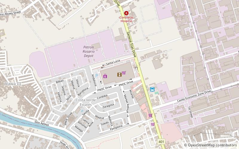
Map
Gallery
Facts and practical information
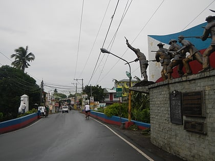
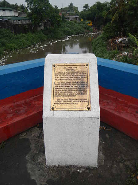
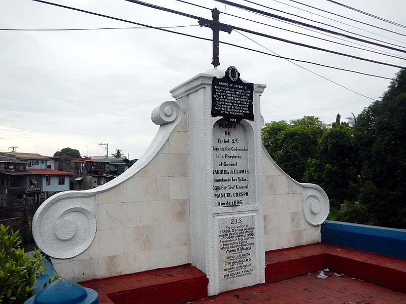
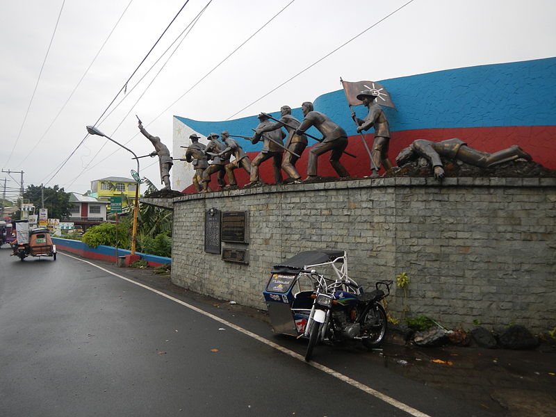
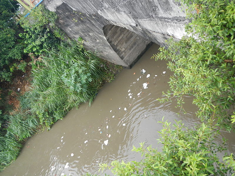
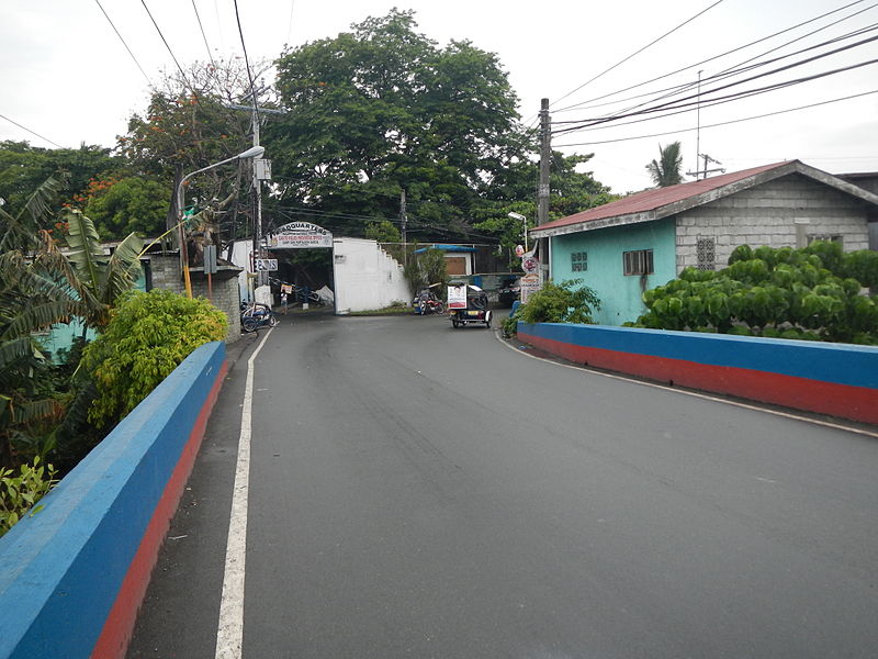
The Bridge of Isabel II is a historic bridge in the City of Imus in Cavite province, Philippines. The two-span stone arch bridge that was completed in 1857 was the site of the Battle of Imus, also known as the Battle of Imus River, on September 3, 1896 between the Filipino revolutionaries and the soldiers of the Spanish colonial government. ()
Opened: 1857 (169 years ago)Length: 158 ftWidth: 25 ftCoordinates: 14°25'49"N, 120°56'24"E
Day trips
Bridge of Isabel II – popular in the area (distance from the attraction)
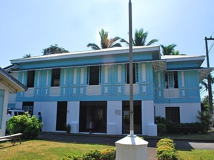
Nearby attractions include: Robinsons Place Las Piñas, Aguinaldo Shrine, St. Mary Magdalene Parish Church, Zapote Bridge.
