Carriedo Fountain, Manila
Map

Map

Facts and practical information
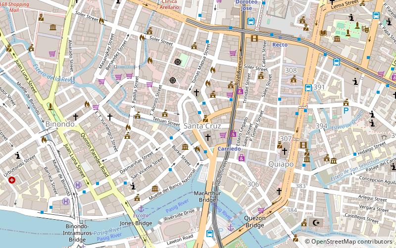
Carriedo Fountain is a fountain in Santa Cruz, Manila, Philippines. It was built in honor of the 18th-century Capitán General of Manila, Don Francisco Carriedo y Peredo, benefactor of Manila's pipe water system. It was moved three times before its current location at Plaza Santa Cruz, right in front of the Santa Cruz Church. ()
Coordinates: 14°35'60"N, 120°58'48"E
Address
Santa CruzManila
ContactAdd
Social media
Add
Day trips
Carriedo Fountain – popular in the area (distance from the attraction)
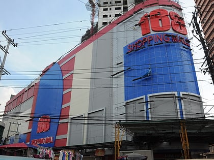
Nearby attractions include: 168 Shopping Mall, Tutuban Center, Binondo Church, Bahay Nakpil-Bautista.
Frequently Asked Questions (FAQ)
Which popular attractions are close to Carriedo Fountain?
Nearby attractions include Santa Cruz Church, Manila (2 min walk), First United Building, Manila (3 min walk), Plaza Lacson, Manila (3 min walk), Anchor Skysuites, Manila (6 min walk).
How to get to Carriedo Fountain by public transport?
The nearest stations to Carriedo Fountain:
Bus
Light rail
Ferry
Metro
Train
Bus
- Raon • Lines: T303, T3138, T378 (2 min walk)
- Plaza Santa Cruz • Lines: 17, T3138, T378 (2 min walk)
Light rail
- Carriedo • Lines: 1 (3 min walk)
- Doroteo Jose • Lines: 1 (11 min walk)
Ferry
- Escolta • Lines: Pasig River Ferry (8 min walk)
- Lawton • Lines: Pasig River Ferry (8 min walk)
Metro
- Recto • Lines: 2 (9 min walk)
- Legarda • Lines: 2 (22 min walk)
Train
- Tutuban (25 min walk)
- España (36 min walk)


