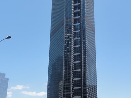
Paseo de Roxas, Makati
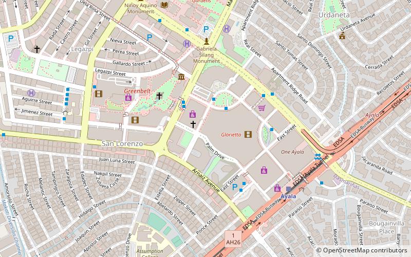
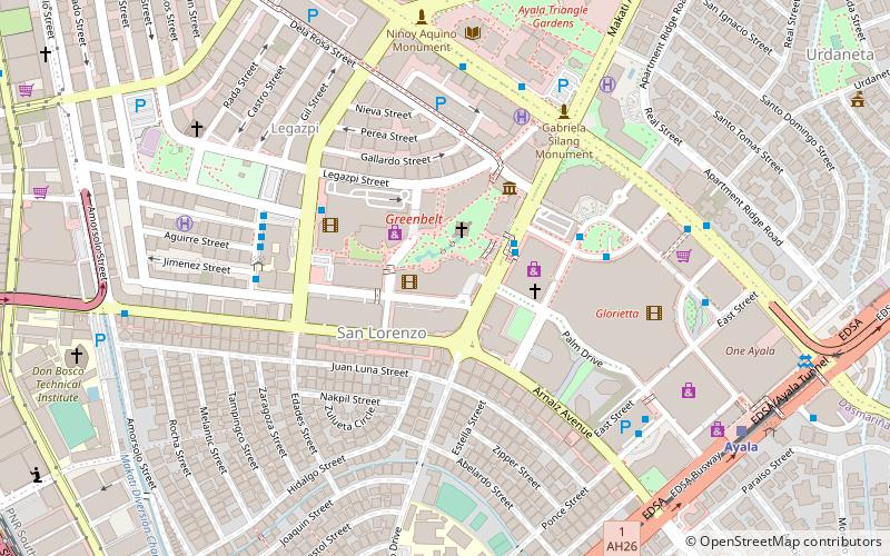
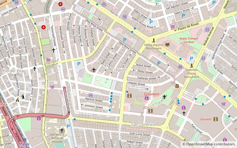
Map
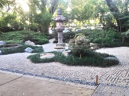
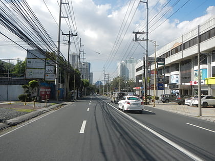
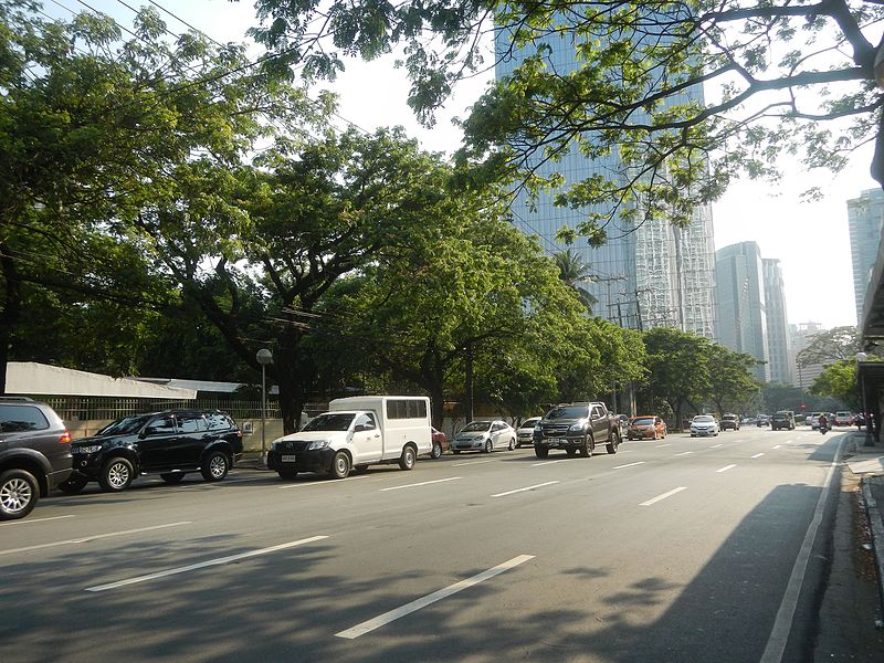
Gallery
Facts and practical information
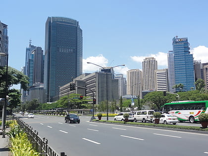
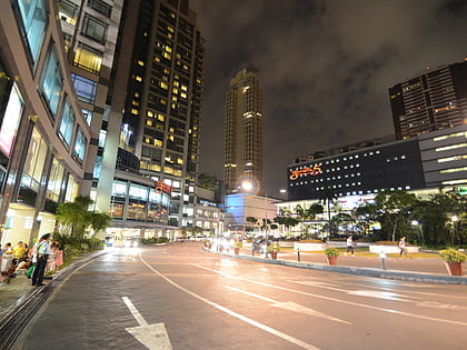
Paseo de Roxas is a prime commercial artery in the Makati Central Business District of Metro Manila, Philippines. It is a two- to six-lane avenue that cuts through the middle of the business district connecting San Lorenzo Village in the west to Bel-Air Village in the east. ()
Length: 5906 ftCoordinates: 14°33'16"N, 121°1'8"E
Day trips
Paseo de Roxas – popular in the area (distance from the attraction)
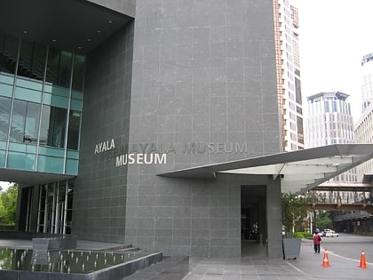
Nearby attractions include: Ayala Museum, Ayala Avenue, Glorietta, Ayala Triangle Gardens.
Frequently Asked Questions (FAQ)
Which popular attractions are close to Paseo de Roxas?
Nearby attractions include Lopez Center, Makati (2 min walk), Washington SyCip Park, Makati (2 min walk), The Shang Grand Tower, Makati (4 min walk), Legazpi Active Park, Makati (4 min walk).
How to get to Paseo de Roxas by public transport?
The nearest stations to Paseo de Roxas:
Bus
Train
Light rail
Ferry
Bus
- Greenbelt 1 • Lines: P2P Noveleta-Makati, P2P-Lm, P2P-Nm (3 min walk)
- Trasierra • Lines: Bm, Dm, P2P The District Imus-Trasierra, P2P-Cm, Tm (4 min walk)
Train
- Pasay Road (15 min walk)
- Dela Rosa (18 min walk)
Light rail
- Ayala • Lines: 3 (18 min walk)
- Magallanes • Lines: 3 (22 min walk)
Ferry
- Hulo • Lines: Pasig River Ferry (35 min walk)

