Alabang–Zapote Road, Las Piñas
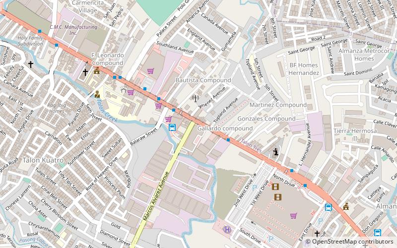
Map
Gallery
Facts and practical information
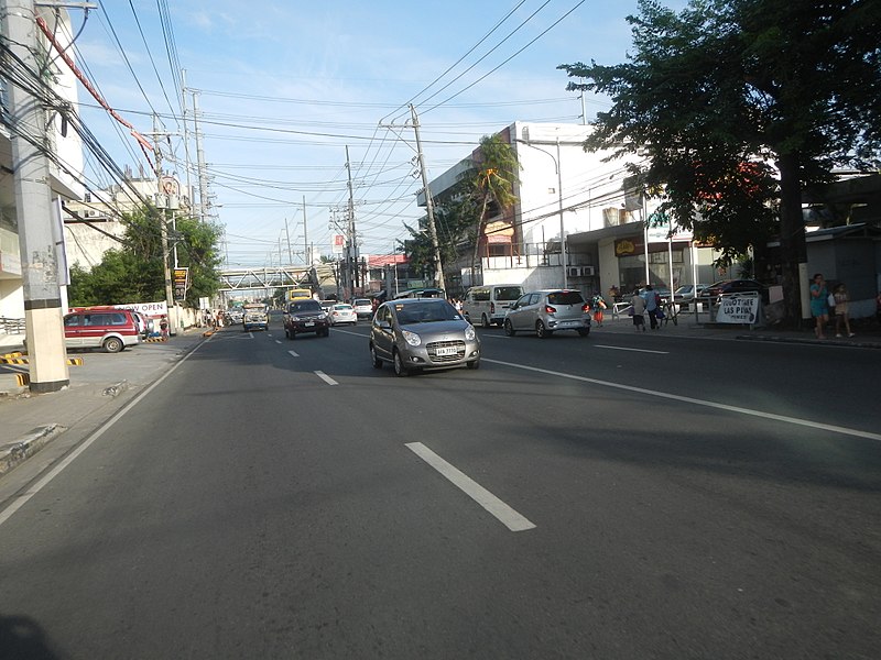
Alabang–Zapote Road is a four-lane national road which travels east–west through the southern limits of Metro Manila, Philippines. It runs parallel to Dr. Santos Avenue in the north and is named for the two barangays that it links: Alabang in Muntinlupa and Zapote in Las Piñas. ()
Length: 6.77 miCoordinates: 14°26'12"N, 121°0'25"E
Address
Las Piñas District 2 (Talon Kuatro)Las Piñas
ContactAdd
Social media
Add
Day trips
Alabang–Zapote Road – popular in the area (distance from the attraction)
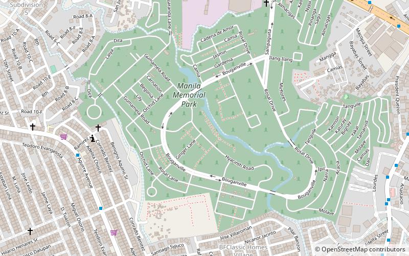
Nearby attractions include: SM City BF Parañaque, Robinsons Place Las Piñas, Solaire Arena, Manila Memorial Park – Sucat.


