McKinley Road, Makati
Map

Gallery

Facts and practical information
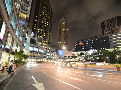
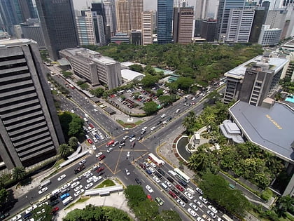
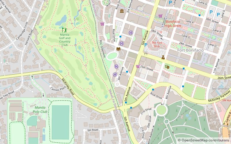
McKinley Road is a tree-lined avenue linking the central business districts of Makati and Bonifacio Global City, Taguig in Metro Manila, Philippines. It is a continuation of Ayala Avenue, south of Epifanio de los Santos Avenue, which runs for approximately 1.9 kilometers through the affluent neighborhoods of Forbes Park and Dasmariñas Village. It is home to the exclusive Manila Polo Club and the Manila Golf and Country Club. ()
Length: 6319 ftCoordinates: 14°32'50"N, 121°2'17"E
Address
Makati District 1 (Forbes Park)Makati
ContactAdd
Social media
Add
Day trips
McKinley Road – popular in the area (distance from the attraction)
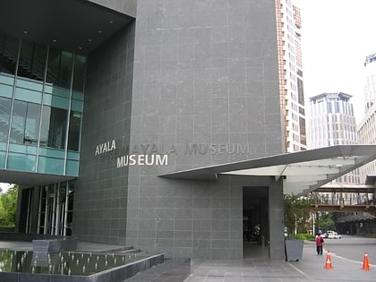
Nearby attractions include: Ayala Museum, Manila American Cemetery, Market! Market!, Glorietta.
Frequently Asked Questions (FAQ)
Which popular attractions are close to McKinley Road?
Nearby attractions include Forbes Park, Makati (10 min walk), One McKinley Place, Taguig (13 min walk), Pacific Plaza Towers, Taguig (13 min walk), Burgos Circle, Taguig (15 min walk).
How to get to McKinley Road by public transport?
The nearest stations to McKinley Road:
Bus
Light rail
Bus
- Fort Victoria • Lines: L, (N) Nr (14 min walk)
- McKinley Parkway • Lines: L, (N) Nr (14 min walk)
Light rail
- Buendia • Lines: 3 (15 min walk)
- Ayala • Lines: 3 (18 min walk)


