Banat-i Hill, Tagbilaran
Map

Map

Facts and practical information
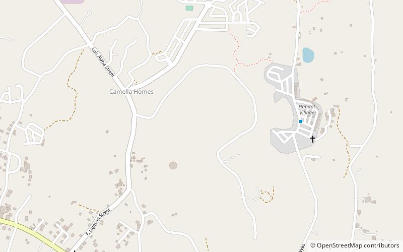
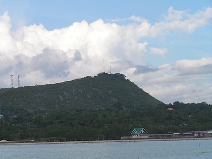
Banat-i is a hill located in Bool, Tagbilaran City. This hill commands a scenic view overlooking the vast Bohol Sea, Islands of Mindanao, Negros and Siquijor and the strait of Panglao Island. Elevation is 146 meters above sea level. ()
Coordinates: 9°38'17"N, 123°52'52"E
Address
Tagbilaran
ContactAdd
Social media
Add
Day trips
Banat-i Hill – popular in the area (distance from the attraction)
Nearby attractions include: Site of the Blood Compact, Dauis, Shrine of St. Jude Thaddeus, Cogon.


