National Museum of the Philippines, Manila
Map

Map

Facts and practical information
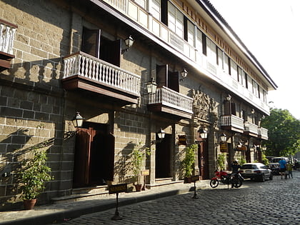
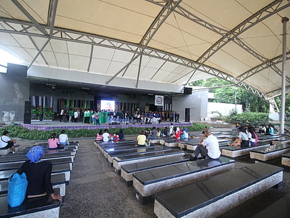
The National Museum of the Philippines is an umbrella government organization that oversees a number of national museums in the Philippines including ethnographic, anthropological, archaeological and visual arts collections. Since 1998, the National Museum has been the regulatory and enforcement agency of the Government of the Philippines in the restoring and safeguarding of important cultural properties, sites, and reservations throughout the Philippines. ()
Day trips
National Museum of the Philippines – popular in the area (distance from the attraction)
Nearby attractions include: San Agustin Church, Casa Manila, National Museum of Anthropology, Bonifacio Shrine.
Frequently Asked Questions (FAQ)
Which popular attractions are close to National Museum of the Philippines?
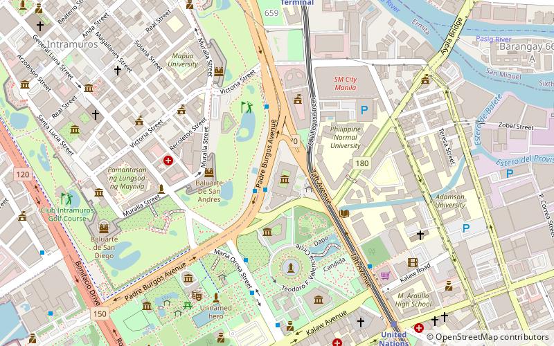
Nearby attractions include National Museum of Fine Arts, Manila (1 min walk), Padre Burgos Avenue, Manila (3 min walk), Baluarte de San Andres, Manila (4 min walk), Manila City Hall, Manila (5 min walk).
How to get to National Museum of the Philippines by public transport?
The nearest stations to National Museum of the Philippines:
Bus
Light rail
Ferry
Metro
Bus
- National Museum • Lines: 312, T378 (2 min walk)
- Manila City Hall • Lines: 312, T378 (4 min walk)
Light rail
- United Nations • Lines: 1 (10 min walk)
- Central Terminal • Lines: 1 (11 min walk)
Ferry
- Lawton • Lines: Pasig River Ferry (16 min walk)
- Escolta • Lines: Pasig River Ferry (18 min walk)
Metro
- Recto • Lines: 2 (30 min walk)
- Legarda • Lines: 2 (32 min walk)


