Guyam Island

Gallery (3)
Map
Map
Gallery
Facts and practical information
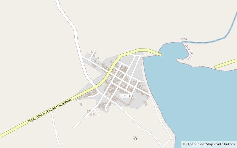
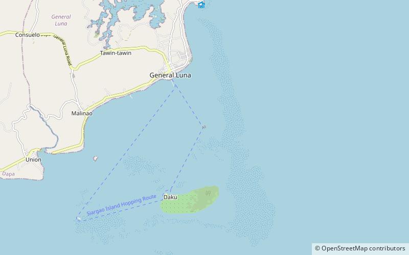
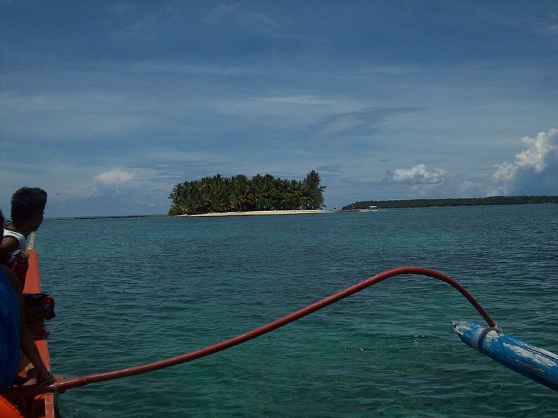
Guyam Island is a tear-drop shaped island in the Philippine Sea situated 780 kilometres southeast of Manila in the province of Surigao del Norte. It is around 2 kilometres south-southeast of General Luna municipality. It is a popular stop for tourists doing island-hopping trips. ()
Coordinates: 9°45'54"N, 126°10'5"E
Location
Surigao del Norte
ContactAdd
Social media
Add
Day trips