Quirino Protected Landscape
Map

Map

Facts and practical information
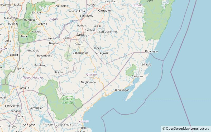
The Quirino Protected Landscape is a protected area in the Philippine island of Luzon that covers a large portion of the province of Quirino. It was established in 2004 to preserve the watershed area containing the headwaters of the Cagayan River, also known as the Rio Grande de Cagayan, which supports major irrigation systems in the entire Cagayan Valley region. From an initial area of 206,875.41 hectares, the protected area now forms a total aggregate area of 175,943.62 hectares divided into three parcels after a 2005 amendment opened up a few areas to mining. It is a key biodiversity area of the Sierra Madre Biodiversity Corridor. ()
Coordinates: 16°22'38"N, 121°46'59"E
Location
Quirino
ContactAdd
Social media
Add
