Mount Baya

Map
Facts and practical information
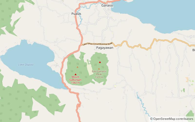
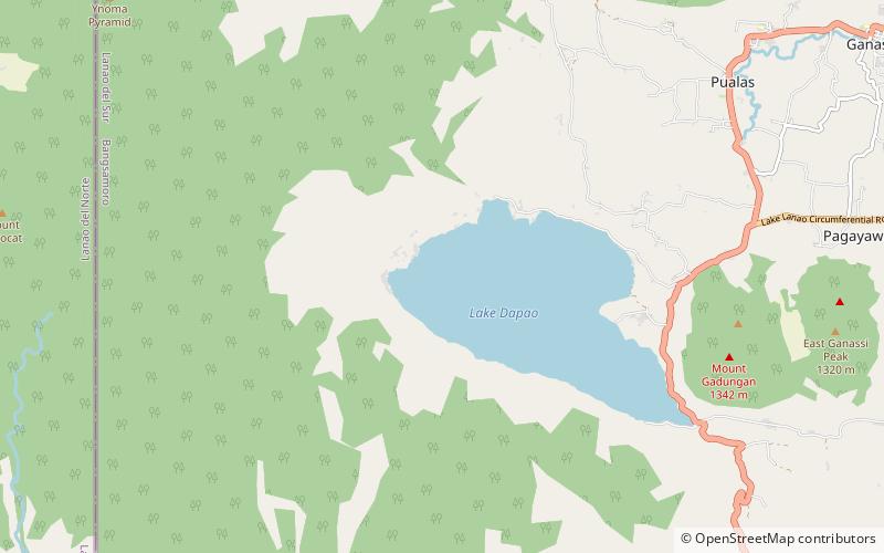
Mount Baya is a dormant volcano in the municipality of Ganassi in Lanao del Sur province, Philippines. The mountain has a peak elevation of 1,484 meters rising from a plateau of about 950 meters. It is located about 4 kilometers east of Lake Dapao and about 4.5 kilometers southwest of Lake Lanao. Between Lake Dapao and Mount Baya is Mount Gadungan, another inactive volcano. ()
Elevation: 4869 ftCoordinates: 7°47'14"N, 124°5'42"E
Location
Lanao del Sur
ContactAdd
Social media
Add
Day trips
Mount Baya – popular in the area (distance from the attraction)
Nearby attractions include: Lake Dapao.
