Zambales Mountains
Map

Map

Facts and practical information
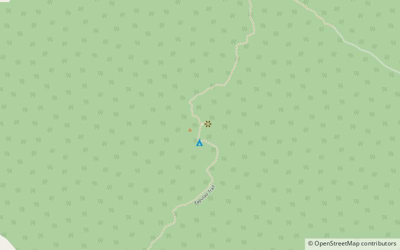
The Zambales Mountains is a mountain range on western Luzon island in the Philippines. The mountains separate Luzon's central plain from the South China Sea. Its most prominent section is known as the Cabusilan Mountain Range composed of Mount Pinatubo, Mount Negron and Mount Cuadrado, which are believed to be remnants of the ancestral Pinatubo peak. The highest elevation in the Zambales Mountains is Mount Tapulao, also known as High Peak, in Zambales province which rises to 2,037 metres. ()
Alternative names: Area: 115.83 mi²Maximum elevation: 590551 ftElevation: 6683 ftCoordinates: 15°28'52"N, 120°7'16"E
Location
Zambales
ContactAdd
Social media
Add
Day trips
Zambales Mountains – popular in the area (distance from the attraction)
Nearby attractions include: Mount Tapulao.

