Mount Mariveles
Map

Map

Facts and practical information
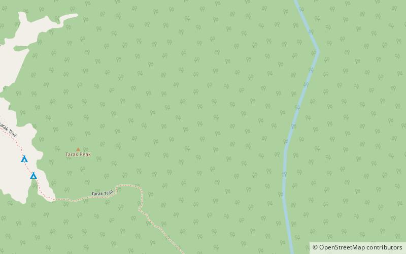
Mount Mariveles is a dormant stratovolcano and the highest point in the province of Bataan in the Philippines. Mariveles and the adjacent Mount Natib comprise 80.9 percent of the total land area of the province. The mountain and adjacent cones lie opposite the city of Manila across Manila Bay, providing a beautiful setting for the sunsets seen from the city. ()
Location
Bataan
ContactAdd
Social media
Add
Day trips
Mount Mariveles – popular in the area (distance from the attraction)
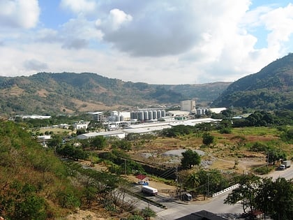
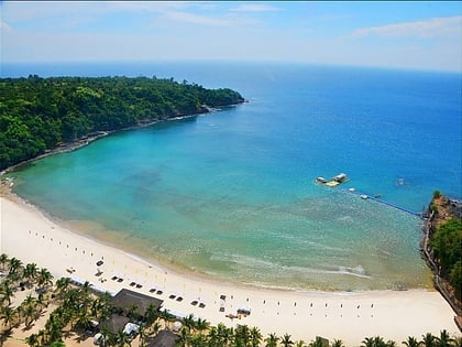
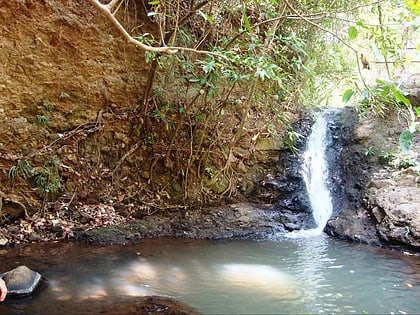
Nearby attractions include: Bataan Export Processing Zone, Camaya Coast, Camaya Falls, Freeport Area of Bataan.


