Agoo–Damortis Protected Landscape and Seascape
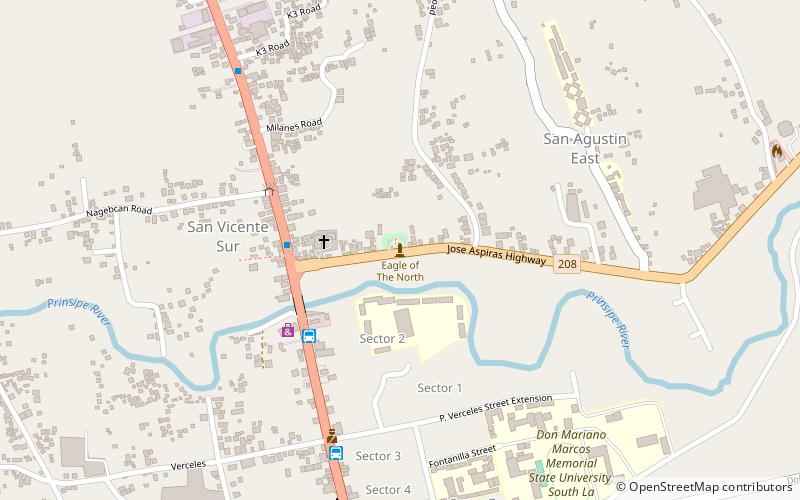
Map
Map

Facts and practical information
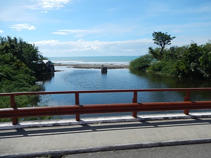
The Agoo–Damortis Protected Landscape and Seascape is located on the eastern side of Lingayen Gulf in southern La Union, Philippines. It was established in 2000 to protect 10,648.94 hectares of coastal area, including mangrove swamps, seagrass beds and stretches of fine black sand beaches. It was first gazetted as a national park in 1965 and was known as the Agoo–Damortis National Seashore Park. It covers approximately 30 kilometres of coastline of the Lingayen Gulf shared between the municipalities of Agoo, Santo Tomas and Rosario. ()
Established: 2000 (26 years ago)Coordinates: 16°21'10"N, 120°20'38"E
Location
La Union
ContactAdd
Social media
Add
Day trips
Agoo–Damortis Protected Landscape and Seascape – popular in the area (distance from the attraction)
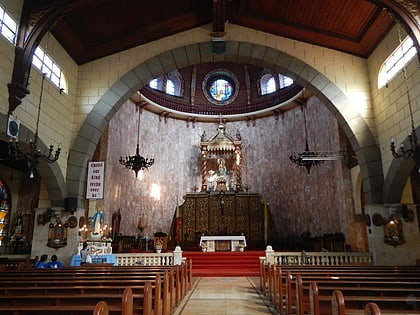
Nearby attractions include: Basilica Minore of Our Lady of Charity, Eagle of the North, Tubao, Caba.
