Baclaran, Parañaque
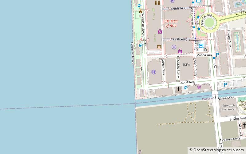
Map
Gallery
Facts and practical information
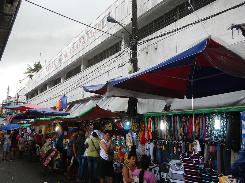
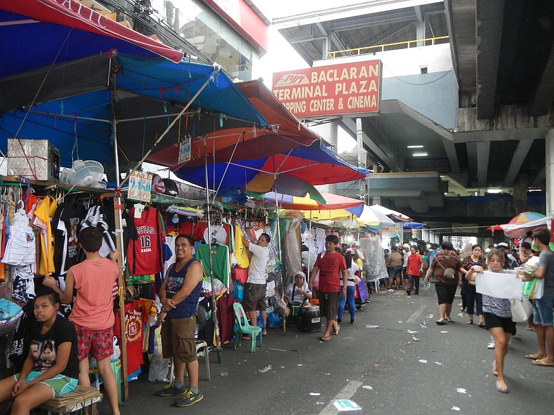
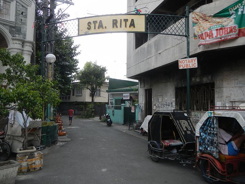
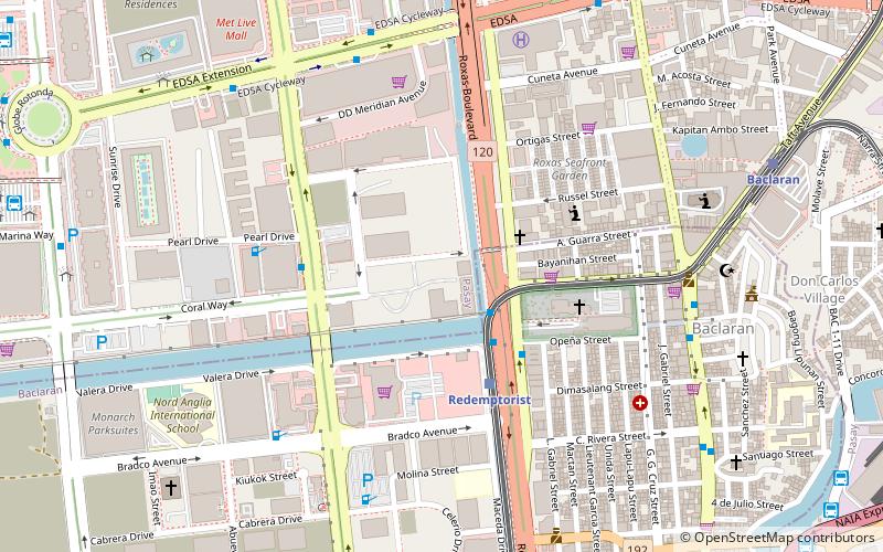
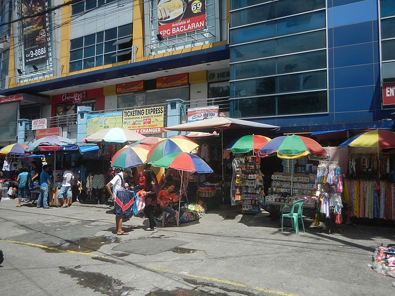
Baclaran is a barangay located in the northern area of the city of Parañaque, Metro Manila, Philippines. It is also known to be located at the borders of the cities of Parañaque and Pasay. ()
Established: 1971 (55 years ago)Coordinates: 14°31'55"N, 120°59'38"E
Day trips
Baclaran – popular in the area (distance from the attraction)
Nearby attractions include: SM Mall of Asia, The Galeón, Baclaran Church, Bay City.
Frequently Asked Questions (FAQ)
Which popular attractions are close to Baclaran?
Nearby attractions include Baclaran Church, Parañaque (2 min walk), Baclaran Mosque, Parañaque (4 min walk), Macapagal Boulevard, Parañaque (9 min walk), Blue Bay Walk, Pasay (14 min walk).
How to get to Baclaran by public transport?
The nearest stations to Baclaran:
Bus
Train
Light rail
Bus
- Baclaran • Lines: 13, 2, 34, 39, 6, Beep, City Bus (supplemental) (3 min walk)
- Bagong Ilog • Lines: T3138, T378 (5 min walk)
Train
- Redemptorist (4 min walk)
- MIA Road (24 min walk)
Light rail
- Baclaran • Lines: 1 (9 min walk)
- Taft Avenue • Lines: 3 (17 min walk)


