Patapat Viaduct, Pagudpud

Gallery (1)
Map
Map
Facts and practical information
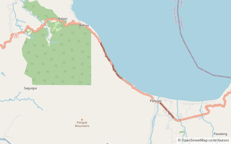
The Patapat Viaduct, also known as Patapat Bridge, is a viaduct at the municipality of Pagudpud, Ilocos Norte, a coastal resort town on the northernmost tip of Luzon Island in the Philippines. ()
Alternative names: Opened: 1986 (40 years ago)Length: 4265 ftHeight: 102 ftCoordinates: 18°34'30"N, 120°53'42"E
Address
Pagudpud
ContactAdd
Social media
Add
Day trips

