Laguna Caldera
Map
Gallery
Facts and practical information
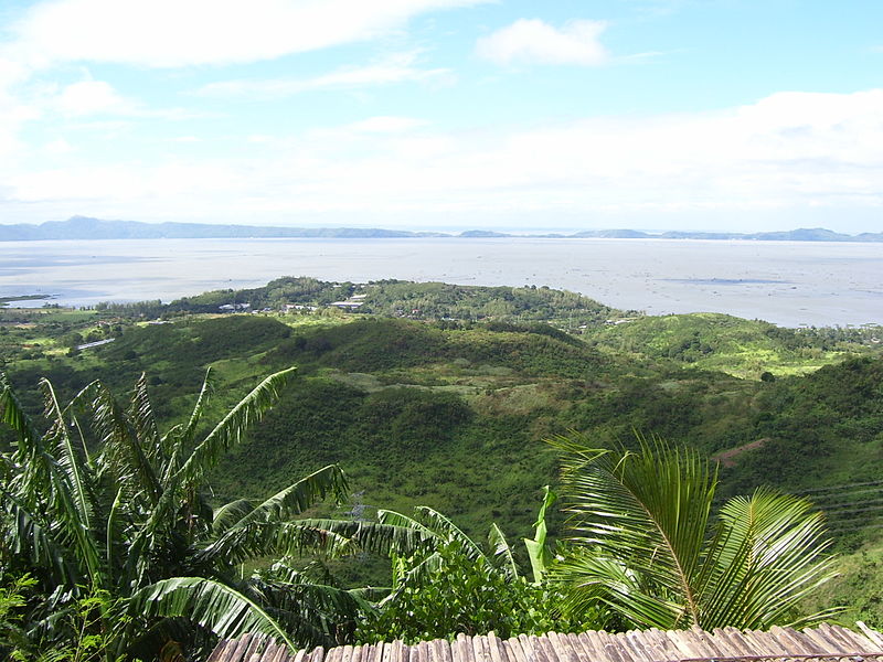
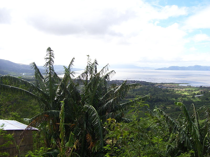
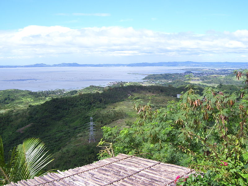
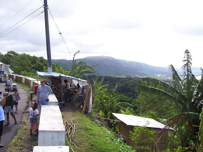
Laguna Caldera is a potentially active volcanic caldera and a geographical depression in Rizal, Philippines. It is broadly elliptical in shape, with dimensions of 20 by 10 km. It has a summit elevation of 743 m or 2,438 feet. The caldera forms the middle lobe of Laguna de Bay, bound by the Morong Peninsula and Talim Island to the west, and the Jalajala Peninsula to the east. ()
Location
Rizal
ContactAdd
Social media
Add
Day trips
Laguna Caldera – popular in the area (distance from the attraction)
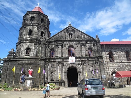
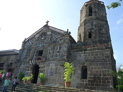
Nearby attractions include: Tanay Church, Diocesan Shrine and Parish of St. Joseph, Saint Mary Magdalene Parish Church, Nuestra Señora de Candelaria Parish Church.


