Pampanga Provincial Capitol, San Fernando
Map
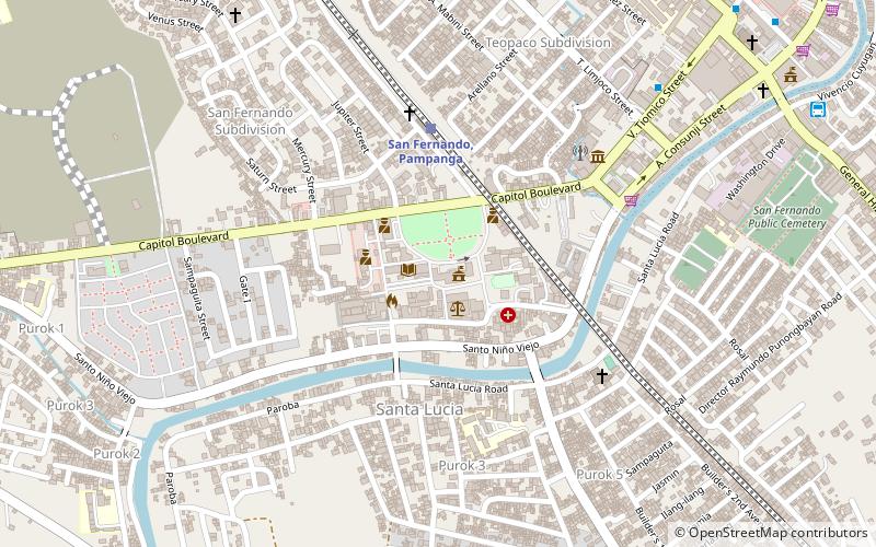
Map

Facts and practical information
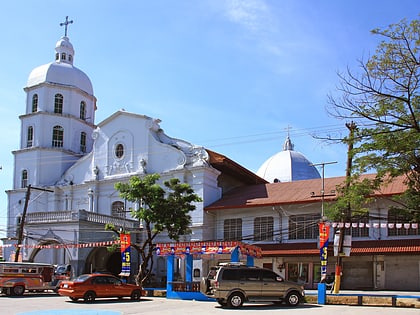
The Pampanga Capitol is the seat of government of the province of Pampanga in the Philippines. The original building was constructed shortly after the provincial capital of Pampanga was transferred from Bacolor to San Fernando in 1904. Annexes were added before the war. It was the site of a major battle between the Philippine Commonwealth troops and local guerrilla forces and the Japanese Imperial Army during World War II. ()
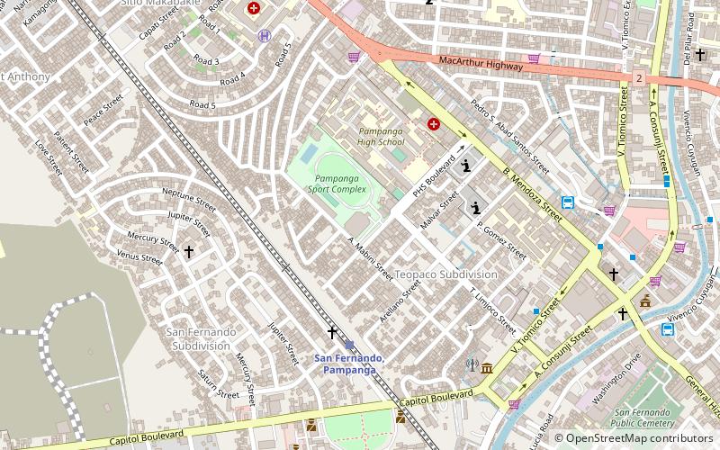
Coordinates: 15°1'26"N, 120°41'13"E
Day trips
Pampanga Provincial Capitol – popular in the area (distance from the attraction)
Nearby attractions include: Paskuhan Village, SM City Pampanga, Betis Church, San Guillermo Parish Church.
Frequently Asked Questions (FAQ)
How to get to Pampanga Provincial Capitol by public transport?
The nearest stations to Pampanga Provincial Capitol:
Train
Bus
Train
- San Fernando, Pampanga (5 min walk)
Bus
- Sn. Fdo-Bulaon Jeep Terminal (14 min walk)
- Vivencio Cuyugan Terminal (14 min walk)


