Mount Annaguan
Map

Map

Facts and practical information
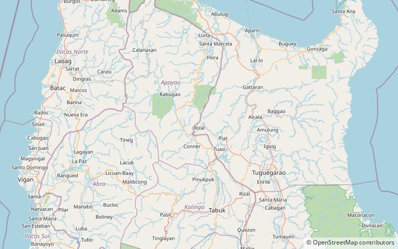
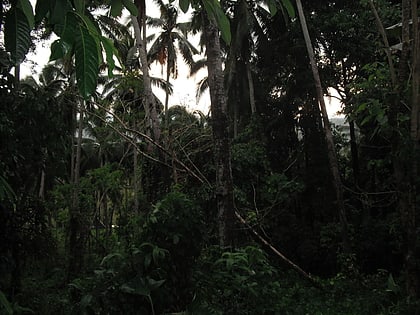
Mount Annaguan is a mountain located in the town of Rizal in the province of Cagayan. It has a height of 1,400 metres and is also the location of an undergoing tourism spot in the Philippines. The mountain contains a very well preserved forest and also a cave for tourism. It also contains some rare animal species of the Philippines like the Philippine eagle. At the peak of the mountain there is also a view of the whole town of Rizal, Conner, Santo Niño and Piat. The mountain served as a hiding place for Japanese soldiers during World War II. ()
Elevation: 4593 ftCoordinates: 17°51'50"N, 121°20'38"E
Location
Cagayan
ContactAdd
Social media
Add
Day trips
Mount Annaguan – popular in the area (distance from the attraction)
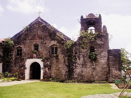
Nearby attractions include: Saint Raymond of Peñafort Parish Church, Mount Malaueg.


