Camp Iranun, Cotabato City
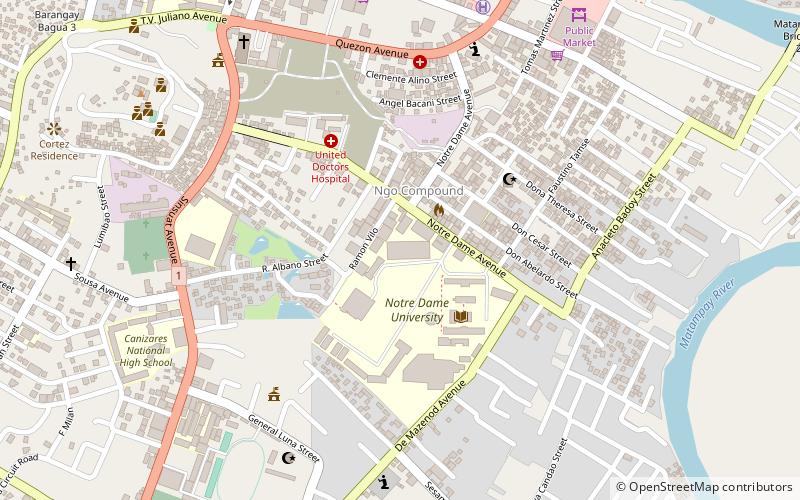
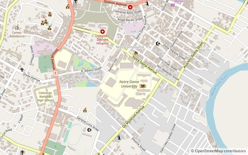
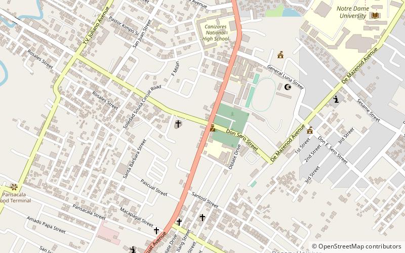
Map
Facts and practical information
Camp Iranun is a Philippine Army military base located in Barira, Maguindanao, Philippines. It is named after the Iranun people, a Moro ethnic group native to the area encompassing the boundaries of Maguindanao, Lanao del Sur and North Cotabato provinces. ()
Built: 1980 (46 years ago)Coordinates: 7°13'0"N, 124°15'0"E
Address
Cotabato City
ContactAdd
Social media
Add
Getting there by public transportation
Public transportation stops near this location
- Bus
 Bus
Bus
- Calculate routeMindanao Bus Transport Express 12 min walk
- Calculate routeA2Z Utilitity Van Terminal 14 min walk
- Calculate routeKutoco Terminal 14 min walk
Day trips


Frequently Asked Questions (FAQ)
Which popular attractions are close to Camp Iranun?
Nearby attractions include Notre Dame University, Cotabato City (2 min walk), Kutawato Caves, Cotabato City (6 min walk), Cotabato State University, Cotabato City (11 min walk), Tantawan Park, Cotabato City (11 min walk).
How to get to Camp Iranun by public transport?
The nearest stations to Camp Iranun:
Bus
Bus
- Mindanao Bus Transport Express (12 min walk)
- A2Z Utilitity Van Terminal (14 min walk)