Kalatungan Mountain Range
Map

Gallery

Facts and practical information
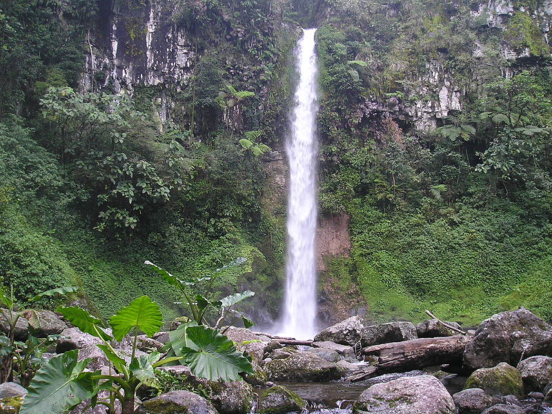
Kalatungan Mountain Range is a mountain range in the central portion of the province of Bukidnon, the Philippines. It is one of the few areas in the province covered with old growth or mossy forests. It covers an area of approximately 213.0134 km2, with about 113.7175 km2 identified as part of the critical watershed area declared under Presidential Decree 127, issued on June 29, 1987. The water from two rivers, the Muleta and Manupali Rivers, flood the multimillion dam project of the Philippine National Irrigation Administration. The rivers drain into the Pulangi River, the site of a National Power Corporation hydroelectric dam. ()
Location
Bukidnon
ContactAdd
Social media
Add
