Capas National Shrine, Capas

Gallery (4)
Map

Map
Gallery
Facts and practical information
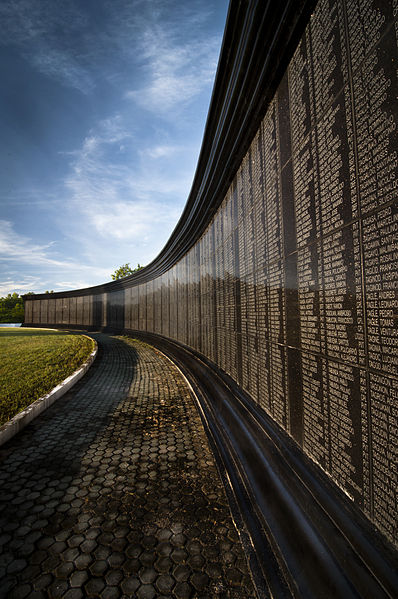
The Capas National Shrine in Barangay Aranguren, Capas, Tarlac, Philippines was built by the Philippine government as a memorial to Allied soldiers who died at Camp O'Donnell at the end of the Bataan Death March during the Second World War. ()
Established: 1991 (35 years ago)Unveiled: 2003Coordinates: 15°20'56"N, 120°32'42"E
Day trips
Capas National Shrine – popular in the area (distance from the attraction)
Nearby attractions include: Immaculate Conception Parish Church.
