Metro Cebu, Cebu
Map

Map

Facts and practical information
Metropolitan Cebu, or simply Metro Cebu, is the main urban center of the province of Cebu in the Philippines. Metro Cebu is located along the central eastern portion of the island including the nearby island of Mactan. It accounts for 19.9 percent of the land area and 61.5 percent of the population of the entire province of Cebu. ()
Address
Cebu
ContactAdd
Social media
Add
Day trips
Metro Cebu – popular in the area (distance from the attraction)
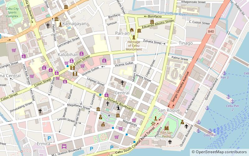
Nearby attractions include: Fort San Pedro, Basilica del Santo Niño, Cebu City Sports Center, Magellan's Cross.
Frequently Asked Questions (FAQ)
Which popular attractions are close to Metro Cebu?
Nearby attractions include Carbon Market, Cebu (1 min walk), Compañía Marítima Building, Cebu (15 min walk), Malacañang sa Sugbo, Cebu (17 min walk), Cebu City Hall, Cebu (18 min walk).
How to get to Metro Cebu by public transport?
The nearest stations to Metro Cebu:
Ferry
Bus
Ferry
- Cebu Pier 1 • Lines: Cebsug (23 min walk)
- Metro Ferry, Inc. (29 min walk)
Bus
- Cebu South Bus Terminal (29 min walk)
- Cebu North&South Overland Transport Terminal (29 min walk)


