Topside Mile-Long Barracks, Corregidor Island

Gallery (1)
Map
Map
Facts and practical information
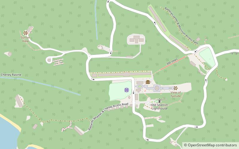
Topside Mile-Long Barracks is a place located in Corregidor Island (Bataan province) and belongs to the category of ruins.
It is situated at an altitude of 577 feet, and its geographical coordinates are 14°22'54"N latitude and 120°34'26"E longitude.
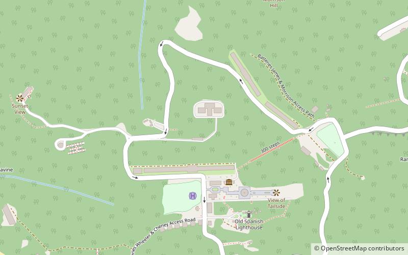
Among other places and attractions worth visiting in the area are: Corregidor Caldera (nature, 4 min walk), Corregidor Island Lighthouse (lighthouse, 7 min walk), Eternal Flame of Freedom (monuments and statues, 8 min walk).
Coordinates: 14°22'54"N, 120°34'26"E
Address
Corregidor Island
ContactAdd
Social media
Add
Day trips


Frequently Asked Questions (FAQ)
Which popular attractions are close to Topside Mile-Long Barracks?
Nearby attractions include Corregidor Caldera, Corregidor Island (4 min walk), Corregidor Island Lighthouse, Corregidor Island (7 min walk), Eternal Flame of Freedom, Corregidor Island (8 min walk), view of tailside, Corregidor Island (8 min walk).