Port of Puerto Princesa, Puerto Princesa
Map
Facts and practical information
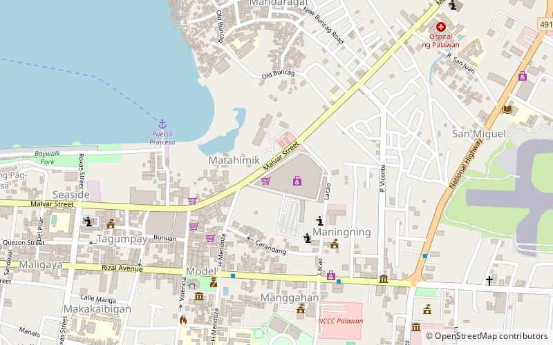
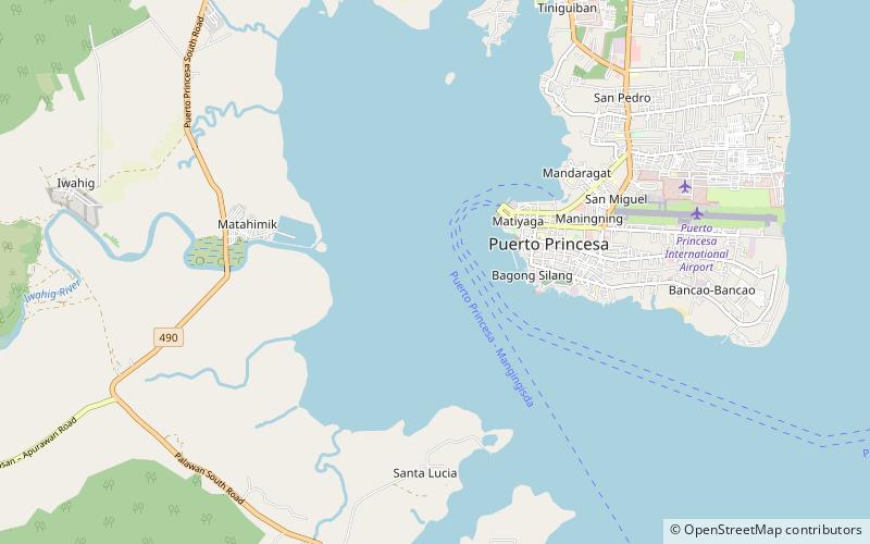
The Port of Puerto Princesa is the Palawan baseport of the Philippine Ports Authority. It is located about Latitude 09° 44"N, Longitude 118° 43"E, on the western side of Puerto Princesa, westward of Princesa Strait, and the western side of Palawan Island. The Port lies 558 meters from a coral reef on the southern portion of Bancao-Bancao Point. Its sea distance from Manila is 370.6 nautical miles. The Port of Puerto Princesa is a major port of entry at the island-province of Palawan. ()
Coordinates: 9°43'60"N, 118°43'1"E
Day trips