Bernardo Park, Quezon City
Map

Gallery

Facts and practical information
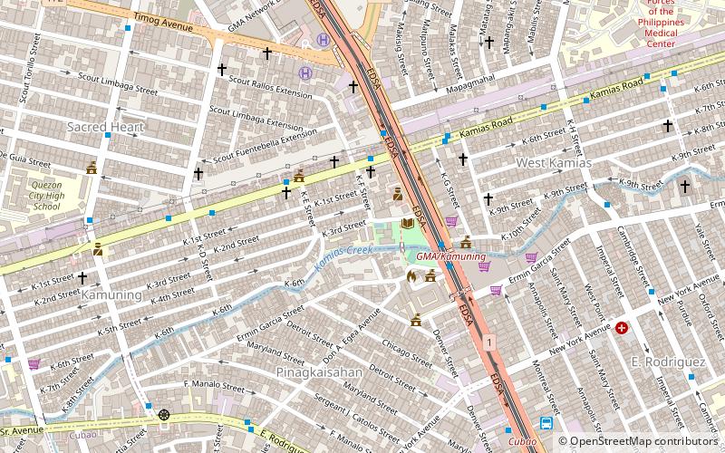
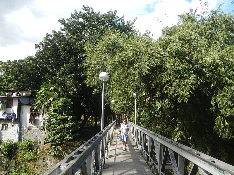
Bernardo Park is an urban community park located on both banks of the Diliman Creek in Quezon City, Metro Manila, Philippines. It is the first public park in Quezon City which opened in 1948. The park is the social and cultural center of the barangay of Pinagkaisahan and the largest park in the barangay of Kamuning. It was named after Ponciano Bernardo, the second mayor of Quezon City who was also the city's first vice-mayor and city engineer appointed by President Manuel L. Quezon. ()
Created: 19 February 1948Elevation: 98 ft a.s.l.Coordinates: 14°37'45"N, 121°2'42"E
Address
Quezon City District 4 (Kamuning)Quezon City
ContactAdd
Social media
Add
Day trips
Bernardo Park – popular in the area (distance from the attraction)
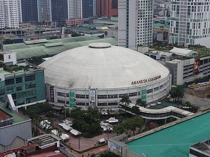
Nearby attractions include: Araneta Center, Robinsons Magnolia, Smart Araneta Coliseum, Ali Mall.
Frequently Asked Questions (FAQ)
Which popular attractions are close to Bernardo Park?
Nearby attractions include Kamuning Road, Quezon City (11 min walk), Asian Theological Seminary, Quezon City (15 min walk), Aurora Boulevard, Quezon City (16 min walk), Betty Go-Belmonte Street, Quezon City (19 min walk).
How to get to Bernardo Park by public transport?
The nearest stations to Bernardo Park:
Bus
Light rail
Metro
Bus
- EDSA-Kamuning • Lines: T210, T223 (3 min walk)
- K-E • Lines: T210, T223 (4 min walk)
Light rail
- GMA Kamuning • Lines: 3 (12 min walk)
- Quezon Avenue • Lines: 3 (26 min walk)
Metro
- Araneta Center - Cubao • Lines: 2 (18 min walk)
- Betty Go - Belmonte • Lines: 2 (19 min walk)


