Upper Marikina River Basin Protected Landscape
Map

Map

Facts and practical information
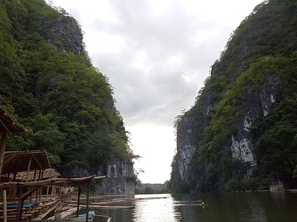
The Upper Marikina River Basin Protected Landscape is a protected area in the Province of Rizal in the Philippines, which forms the upper area of the drainage basin of the Marikina River. ()
Elevation: 1385 ft a.s.l.Coordinates: 14°42'27"N, 121°16'4"E
Location
Rizal
ContactAdd
Social media
Add
Day trips
Upper Marikina River Basin Protected Landscape – popular in the area (distance from the attraction)
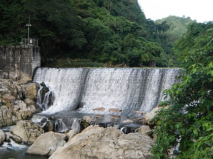
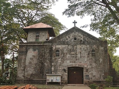
Nearby attractions include: Pamitinan Cave, Wawa Dam, Nuestra Señora de la Annunciata Parish Church, Pamitinan Protected Landscape.


