Fort Bonifacio Tunnel, Taguig

Map
Facts and practical information
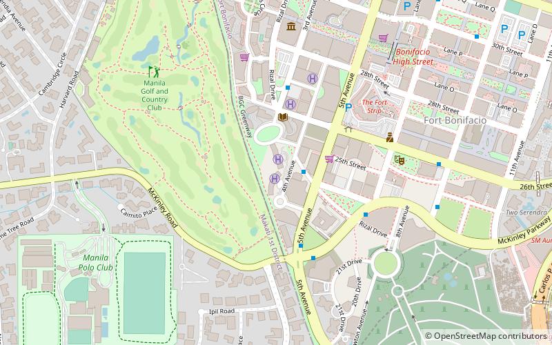
The 1910 Fort Bonifacio War Memorial Tunnel is a tunnel that was part of Fort William McKinley, a military base built by the US Military Government of the Philippines in 1902. The tunnel alignment is now part of the Bonifacio Global City district in Taguig and barangays in Makati, and is considered a historical site by the Bases Conversion Development Authority. The main roads near it are C-5 and Kalayaan Avenue. ()
Coordinates: 14°32'41"N, 121°3'39"E
Address
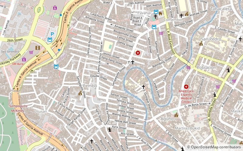
Makati District 2 (Pembo)Taguig
ContactAdd
Social media
Add
Day trips
Fort Bonifacio Tunnel – popular in the area (distance from the attraction)
Nearby attractions include: Manila American Cemetery, Market! Market!, Pasig City Museum, SM Aura Premier.
Frequently Asked Questions (FAQ)
Which popular attractions are close to Fort Bonifacio Tunnel?
Nearby attractions include Pateros Church, Manila (11 min walk), Pateros, Manila (11 min walk), Manila American Cemetery, Taguig (20 min walk), Bonifacio Global City, Taguig (21 min walk).
How to get to Fort Bonifacio Tunnel by public transport?
The nearest stations to Fort Bonifacio Tunnel:
Bus
Ferry
Bus
- STOD Tricycle Terminal (8 min walk)
- Staffhouse Tricycle Terminal (8 min walk)
Ferry
- San Joaquin • Lines: Pasig River Ferry (29 min walk)


