Kalayaan Avenue, Makati
Facts and practical information
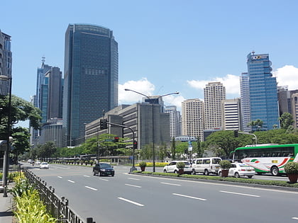
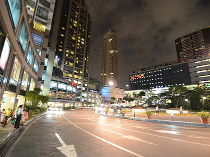
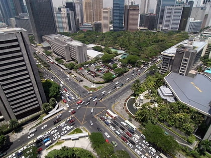
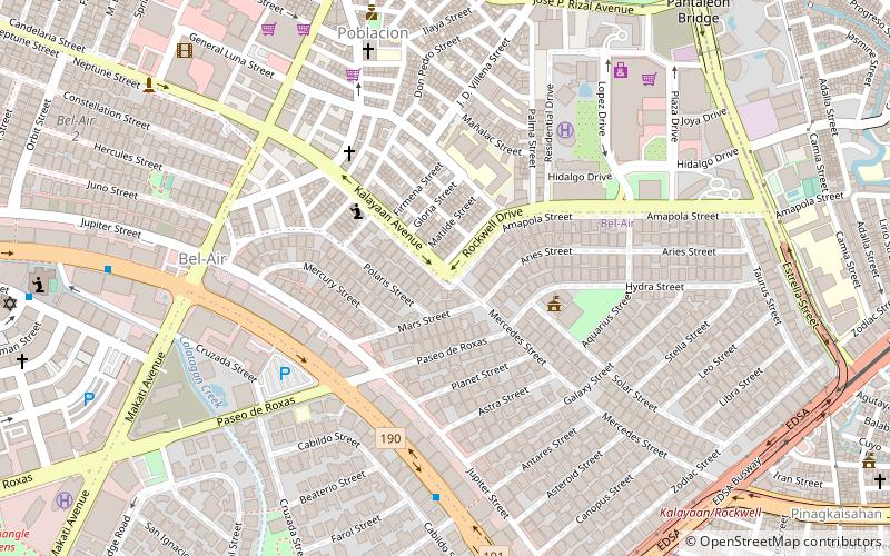
Kalayaan Avenue is a major east–west route in Makati, Metro Manila, Philippines. For most of its length, it runs parallel to J.P. Rizal Avenue to the north from East Rembo near Fort Bonifacio to Barangay Singkamas by the border with San Andres, Manila. It is interrupted by Bel-Air Village between Rockwell Drive and Epifanio de los Santos Avenue. The avenue is designated as a component of Radial Road 4 of the Metro Manila Arterial Road System and its segment east of EDSA is designated as a component of National Route 190 of the Philippine highway network. ()
Makati District 1 (Bel-Air)Makati
Kalayaan Avenue – popular in the area (distance from the attraction)
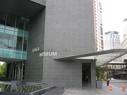
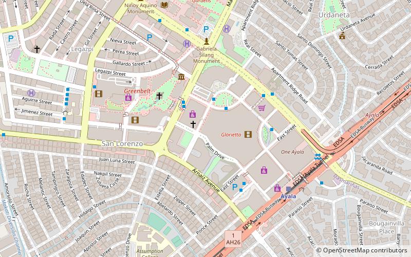
Nearby attractions include: Ayala Museum, Ayala Avenue, Power Plant Mall, Glorietta.
Frequently Asked Questions (FAQ)
Which popular attractions are close to Kalayaan Avenue?
How to get to Kalayaan Avenue by public transport?
Bus
- Makati Avenue • Lines: 13 (12 min walk)
- EDSA-Jupiter Jeepney Terminal (12 min walk)
Ferry
- Hulo • Lines: Pasig River Ferry (12 min walk)
- Valenzuela • Lines: Pasig River Ferry (25 min walk)
Light rail
- Buendia • Lines: 3 (14 min walk)
- Ayala • Lines: 3 (24 min walk)

