F. Llamas Street, Cebu
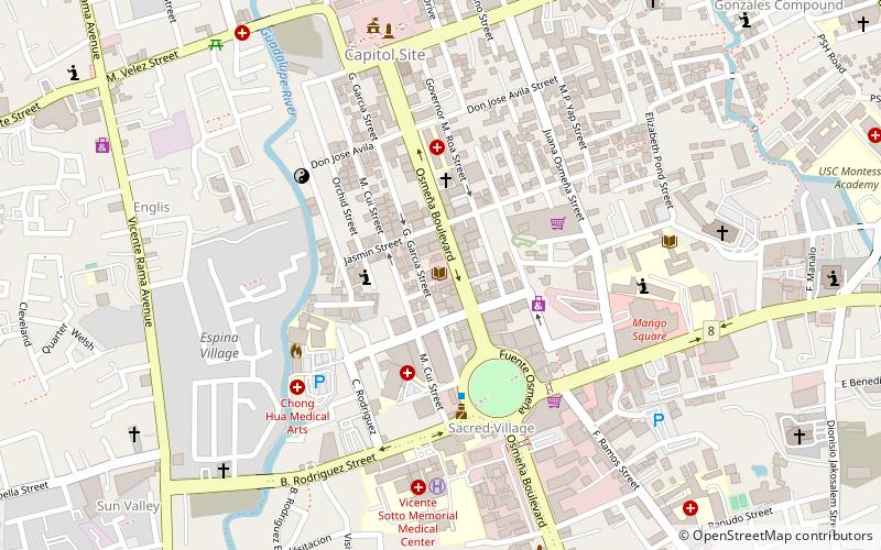
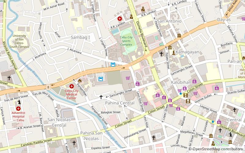
Map
Gallery
Facts and practical information
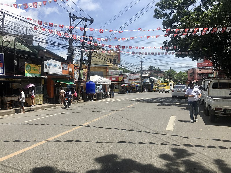
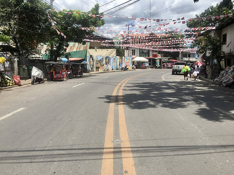
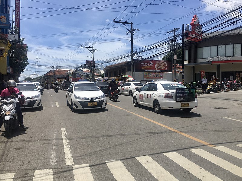
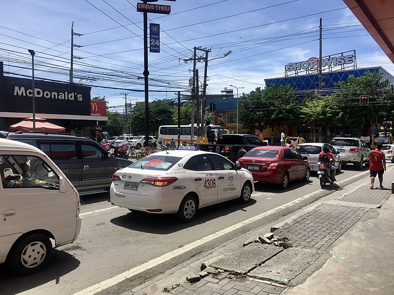
F. Llamas Street is a national tertiary road in Cebu City, Cebu, Philippines. It commences at N. Bacalso Avenue in Barangay Basak San Nicolas, passes through the junction of Tres de Abril and E. Sabellano streets and ends at the junction of Katipunan Street in Barangay Tisa. It was formerly considered as a "national aid" city road under Executive Order No. 113 issued by President Ramon Magsaysay on May 2, 1955. ()
Coordinates: 10°17'26"N, 123°52'14"E
Address
Cebu
ContactAdd
Social media
Add
Day trips
F. Llamas Street – popular in the area (distance from the attraction)
Nearby attractions include: Cebu City Sports Center, Cebu Coliseum, Bradford Memorial Chapel, Cebu City Hall.
Frequently Asked Questions (FAQ)
How to get to F. Llamas Street by public transport?
The nearest stations to F. Llamas Street:
Bus
Bus
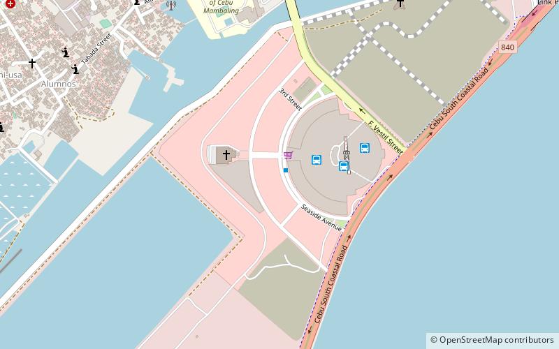
- SM Seaside City Cebu • Lines: My01, My02, My03 (23 min walk)
- SM Seaside (24 min walk)


