City of Santa Rosa Multi-Purpose Complex, Santa Rosa City

Gallery (1)
Map
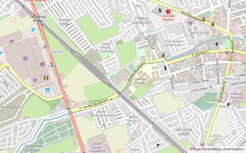
Map
Facts and practical information
The City of Santa Rosa Multi-Purpose Complex, also known as Santa Rosa Sports Complex and as Santa Rosa Sports Coliseum, is an indoor arena in Santa Rosa, Laguna, Philippines with a capacity of 5,700 spectators. ()
Coordinates: 14°18'43"N, 121°6'17"E
Address
Santa Rosa City
ContactAdd
Social media
Add
Getting there by public transportation
Public transportation stops near this location
- Bus
- Train
 Bus
Bus
- Calculate routeSM City Sta. Rosa 10 min walk
- Calculate routeSanta Rosa Integrated Transport Terminal 10 min walk
- Calculate routeAlabang Jeepney Terminal 10 min walk
- Calculate routeNew Sinai MDI Hospital 15 min walk
- Calculate routeSanta Rosa 14 min walk
Day trips


Frequently Asked Questions (FAQ)
How to get to City of Santa Rosa Multi-Purpose Complex by public transport?
The nearest stations to City of Santa Rosa Multi-Purpose Complex:
Bus
Train
Bus
- SM City Sta. Rosa • Lines: 407, Calamba-Pacita via Nat'l Hwy. (10 min walk)
- Santa Rosa Integrated Transport Terminal (10 min walk)
Train
- Santa Rosa (14 min walk)