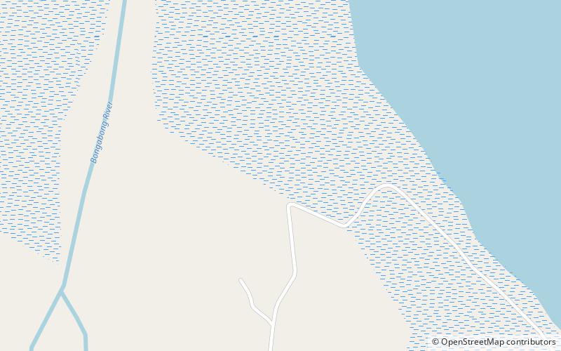
Kuta Church Ruins

Map
Facts and practical information
The Ruins of the Church of Kuta or Fuerza de Bongabong are the remnants of an 18th-century church built by the Recollects in Bongabong, Oriental Mindoro. ()
Coordinates: 12°43'19"N, 121°30'54"E
Location
Oriental Mindoro
ContactAdd
Social media
Add
Day trips
Kuta Church Ruins – popular in the area (distance from the attraction)
Nearby attractions include: Port of Roxas.
