Abad Santos Avenue, Manila
Map

Gallery

Facts and practical information
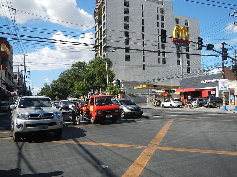
Abad Santos Avenue is a major north–south arterial road located in the district of Tondo in northern Manila, Philippines. It is a divided roadway with four lanes in each direction running through the eastern edge of Tondo from the intersection with Rizal Avenue near the Manila Chinese Cemetery at its north end to Recto Avenue near the Tutuban railway station at the district boundary of Tondo and Binondo at the south. ()
Address
TondoManila
ContactAdd
Social media
Add
Day trips
Abad Santos Avenue – popular in the area (distance from the attraction)
Nearby attractions include: Divisoria, 168 Shopping Mall, Tutuban Center, Recto Avenue.
Frequently Asked Questions (FAQ)
Which popular attractions are close to Abad Santos Avenue?
Nearby attractions include Tayuman Street, Manila (6 min walk), Archdiocesan Shrine of Espiritu Santo, Manila (10 min walk), Rizal Avenue, Manila (11 min walk), Santa Cruz, Manila (11 min walk).
How to get to Abad Santos Avenue by public transport?
The nearest stations to Abad Santos Avenue:
Bus
Light rail
Train
Metro
Bus
- Yuseco • Lines: T314 (1 min walk)
- Abad Santos/Tayuman • Lines: T314, T327 (5 min walk)
Light rail
- Tayuman • Lines: 1 (10 min walk)
- Blumentritt • Lines: 1 (11 min walk)
Train
- Blumentritt (12 min walk)
- Solis (14 min walk)
Metro
- Recto • Lines: 2 (30 min walk)


