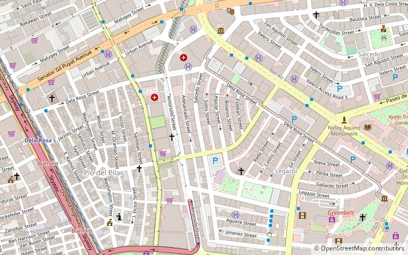
South Avenue, Makati
Facts and practical information
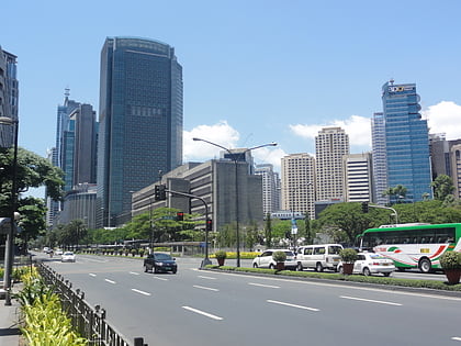
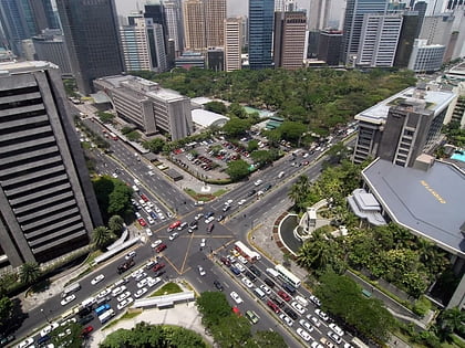
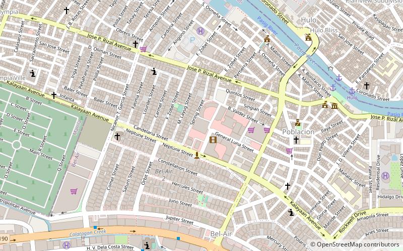
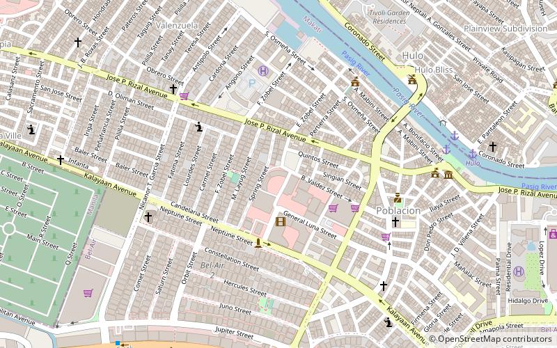
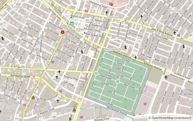
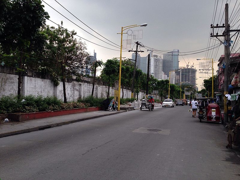
South Avenue is a short extension of Ayala Avenue north of Metropolitan Avenue in Makati, Metro Manila, Philippines. It forms the border between the Manila South Cemetery to the east and Barangay Santa Cruz to the west, running for 805 meters in a southwest–northeast direction from its southern terminus at Metropolitan Avenue to its intersection with J.P. Rizal Avenue in Barangay Olympia. It forms part of Circumferential Road 3 of Metro Manila's arterial road system and is classified as an unnumbered, tertiary national road. Since 2017, it carries one-way northbound traffic, implemented as an effort to decongest traffic in and out of the Makati Central Business District. It has a short extension into Barangay Olympia and Circuit Makati as Taliba Street. It is also the location of the Ecoville Townhouses and F. Benitez Elementary School. ()
Makati District 1 (Santa Cruz)Makati
South Avenue – popular in the area (distance from the attraction)
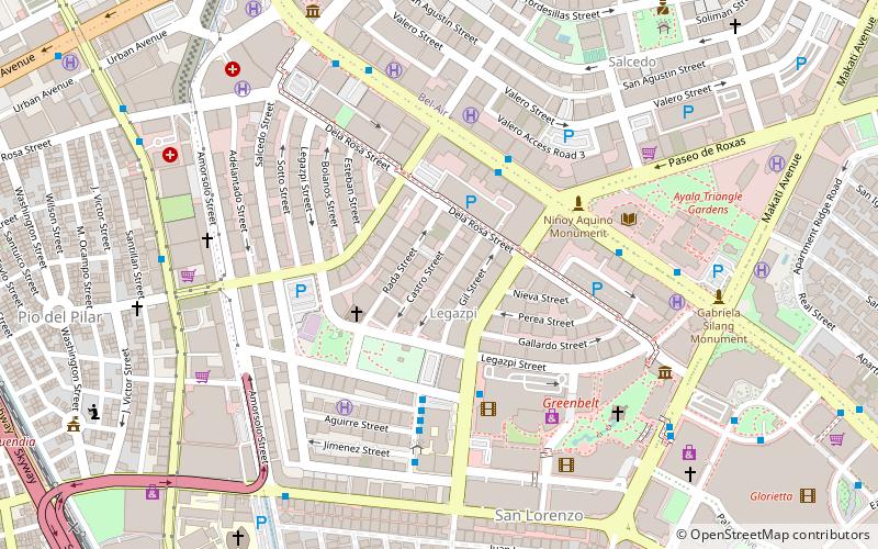
Nearby attractions include: Ayala Avenue, Century City Mall, Makati Avenue, Ayala Triangle Gardens.
Frequently Asked Questions (FAQ)
Which popular attractions are close to South Avenue?
How to get to South Avenue by public transport?
Bus
- PRC-Libertad Jeepney Terminal • Lines: T369 (7 min walk)
- PRC-Mantrade/Kayamanan C Jeepney Terminal • Lines: T331 (12 min walk)
Ferry
- Valenzuela • Lines: Pasig River Ferry (19 min walk)
- Hulo • Lines: Pasig River Ferry (28 min walk)
Train
- Dela Rosa (25 min walk)
- Vito Cruz (25 min walk)
Light rail
- Buendia • Lines: 3 (37 min walk)

