Betty Go-Belmonte Street, Quezon City
Map

Map

Facts and practical information
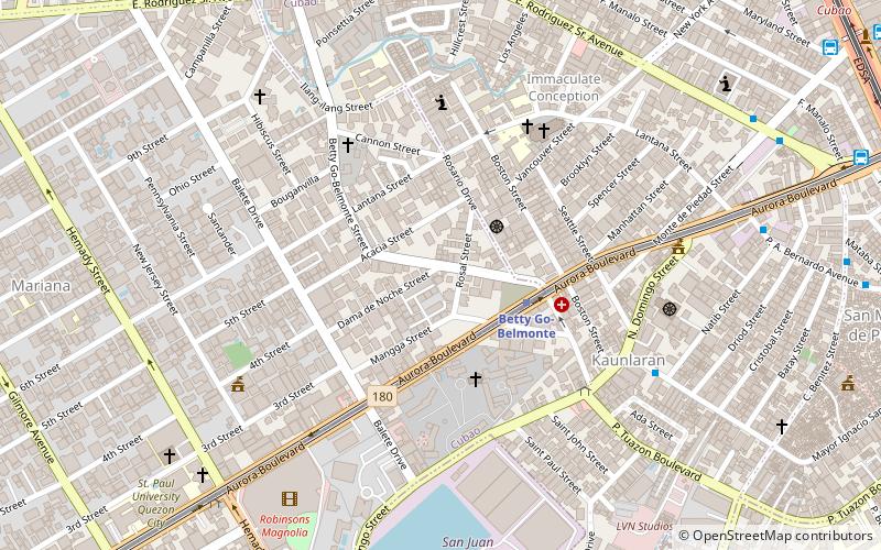
Betty Go-Belmonte Street is a street running through the New Manila district of Quezon City, Philippines. It is a notable road in a generally northwest-southeast orientation between the junction with E. Rodriguez Sr. Avenue in New Manila and the junction with N. Domingo Street also in New Manila. It is served by Betty Go-Belmonte station of the Manila Line 2. ()
Coordinates: 14°37'9"N, 121°2'28"E
Address
Quezon City District 4 (Mariana)Quezon City
ContactAdd
Social media
Add
Day trips
Betty Go-Belmonte Street – popular in the area (distance from the attraction)
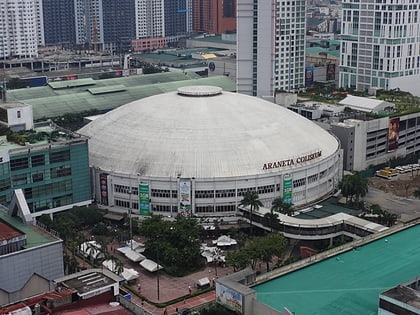
Nearby attractions include: Greenhills Shopping Center, Araneta Center, Robinsons Magnolia, Smart Araneta Coliseum.
Frequently Asked Questions (FAQ)
Which popular attractions are close to Betty Go-Belmonte Street?
Nearby attractions include Balete Drive, Quezon City (7 min walk), Aurora Boulevard, Quezon City (13 min walk), Gilmore Avenue, Quezon City (16 min walk), Kamuning Road, Quezon City (17 min walk).
How to get to Betty Go-Belmonte Street by public transport?
The nearest stations to Betty Go-Belmonte Street:
Metro
Bus
Light rail
Metro
- Betty Go - Belmonte • Lines: 2 (3 min walk)
- Gilmore • Lines: 2 (16 min walk)
Bus
- Aurora-N. Domingo • Lines: T223 (8 min walk)
- Don Egea • Lines: 303, T223 (10 min walk)
Light rail
- GMA Kamuning • Lines: 3 (29 min walk)
- Santolan • Lines: 3 (33 min walk)


