Narciso Ramos Bridge, Santa Maria
Map

Map

Facts and practical information
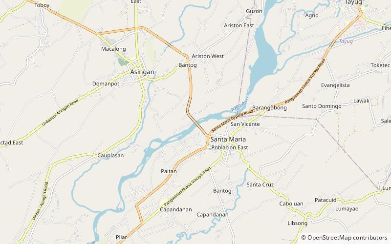
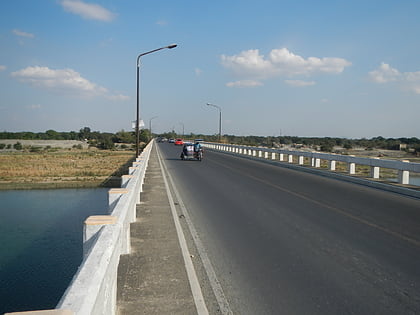
The Narciso Ramos Bridge, formerly known as the Asingan–Sta. Maria Bridge, is a highway bridge which connects the municipalities of Asingan and Santa Maria in Pangasinan, Philippines. Crossing the Agno River, it is part of the Asingan–Sta Maria Road ()
Coordinates: 15°59'12"N, 120°41'20"E
Address
Santa Maria
ContactAdd
Social media
Add
Day trips
Narciso Ramos Bridge – popular in the area (distance from the attraction)
Nearby attractions include: San Manuel, Tayug, Asingan.


