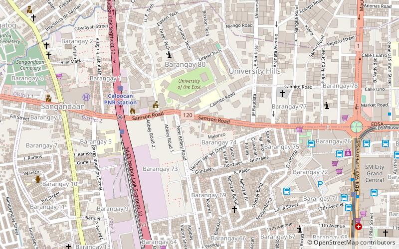
Samson Road, Caloocan
Map

Map

Facts and practical information
Samson Road is a major east–west street in Caloocan, northern Metro Manila, Philippines. The road is a continuation of Epifanio de los Santos Avenue, linked to it via the Bonifacio Monument Roundabout to form a single through route. These roads form part of Circumferential Road 4 of the Metro Manila's arterial road network, National Route 120 of the Philippine highway network, and Asian Highway 26 of the Asian highway network. ()
Coordinates: 14°39'26"N, 120°58'38"E
Address
South Caloocan City District 2 (Barangay 74)Caloocan
ContactAdd
Social media
Add
Day trips
Samson Road – popular in the area (distance from the attraction)
Nearby attractions include: EDSA, Lucky Chinatown, Robinsons Town Mall Malabon, Malabon People's Park.
Frequently Asked Questions (FAQ)
Which popular attractions are close to Samson Road?
Nearby attractions include Bonifacio Monument, Caloocan (12 min walk), Monument de la Légion Etrangère, Caloocan (12 min walk), 10th Avenue, Caloocan (24 min walk).


