Blumentritt Road, Manila
Map

Gallery

Facts and practical information
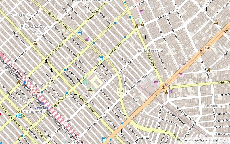
Blumentritt Road is a major road in Manila, Philippines. It runs through the border of the City of Manila with Quezon City from Rizal Avenue in Santa Cruz district to G. Tuazon Street in Sampaloc district. The road also forms the southern boundary of the Manila North Cemetery. It is named after Bohemian professor and filipinologist, Ferdinand Blumentritt. ()
Coordinates: 14°37'8"N, 120°59'53"E
Address
SampalocManila
ContactAdd
Social media
Add
Day trips
Blumentritt Road – popular in the area (distance from the attraction)
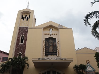
Nearby attractions include: Santo Domingo Church, Manila North Cemetery, Sampaloc Church, Archdiocesan Shrine of Espiritu Santo.
Frequently Asked Questions (FAQ)
Which popular attractions are close to Blumentritt Road?
Nearby attractions include España Boulevard, Quezon City (6 min walk), Welcome Rotonda, Quezon City (7 min walk), Dangwa flower market, Manila (17 min walk), Lacson Avenue, Manila (18 min walk).
How to get to Blumentritt Road by public transport?
The nearest stations to Blumentritt Road:
Bus
Train
Light rail
Metro
Bus
- Blumentritt • Lines: 311 (5 min walk)
- Viron Transit - Sampaloc Terminal (3 min walk)
Train
- Laon Laan (11 min walk)
- España (12 min walk)
Light rail
- Tayuman • Lines: 1 (27 min walk)
- Blumentritt • Lines: 1 (27 min walk)
Metro
- Recto • Lines: 2 (37 min walk)


