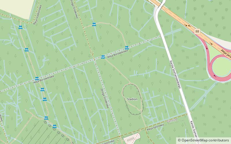
Culture and Recreation Park in Gliwice, Gliwice
Map

Map

Facts and practical information
Culture and Recreation Park is a communal forest in Gliwice. Inside the park is located castle forest. ()
Local name: Park Kultury i Wypoczynku w Gliwicach Elevation: 820 ft a.s.l.Coordinates: 50°18'27"N, 18°42'40"E
Address
Gliwice
ContactAdd
Social media
Add
Day trips
Culture and Recreation Park in Gliwice – popular in the area (distance from the attraction)
Nearby attractions include: Old Saint Bartholomew church, Gliwice Castle, Gliwice Cathedral, Gliwice Radio Tower.
Frequently Asked Questions (FAQ)
How to get to Culture and Recreation Park in Gliwice by public transport?
The nearest stations to Culture and Recreation Park in Gliwice:
Bus
Tram
Bus
- Gliwice Zameczek Leśny n/ż • Lines: 156, 194, 194N, 250, 259, 280, 6, 617, 648, A4, A4N (12 min walk)
- Gliwice Akacjowa • Lines: 156, 194, 194N, 250, 259, 280, 6, 617, 648, 840N, 850, A4, A4N (14 min walk)
Tram
- Gliwice Zajezdnia • Lines: T1, T17, T2, T3, T4, T5, T9 (23 min walk)
- Maciejów Knurowska • Lines: T1, T17, T2, T3, T4, T5, T9 (28 min walk)


