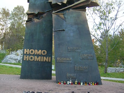
Centrum Geoedukacji, Kielce

Facts and practical information
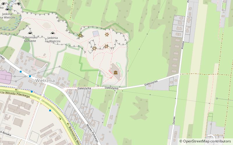
Centrum Geoedukacji (address: ul. Daleszycka 21) is a place located in Kielce (Świętokrzyskie voivodeship) and belongs to the category of museum.
It is situated at an altitude of 945 feet, and its geographical coordinates are 50°51'9"N latitude and 20°38'59"E longitude.
Planning a visit to this place, one can easily and conveniently get there by public transportation. Centrum Geoedukacji is a short distance from the following public transport stations: Karskiego (bus, 7 min walk).
Among other places and attractions worth visiting in the area are: Rezerwat Wietrznia im. Z. Rubinowskiego (park, 6 min walk), Cmentarz jeńców radzieckich (cemetery, 27 min walk), Telegraf (nature, 27 min walk).
Centrum Geoedukacji – popular in the area (distance from the attraction)
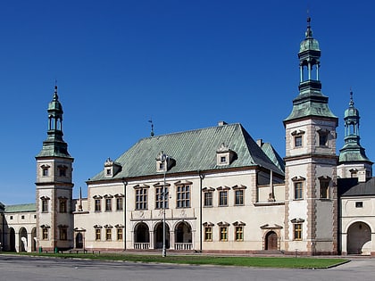
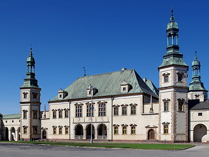
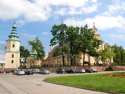
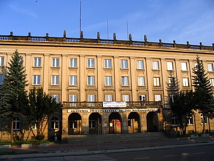
Nearby attractions include: Palace of the Kraków Bishops in Kielce, Muzeum Narodowe w Kielcach, Kielce Cathedral, Jan Kochanowski University.
Frequently Asked Questions (FAQ)
When is Centrum Geoedukacji open?
- Monday closed
- Tuesday 10 am - 4 pm
- Wednesday 10 am - 4 pm
- Thursday 10 am - 4 pm
- Friday 10 am - 4 pm
- Saturday 11 am - 4 pm
- Sunday 11 am - 4 pm
How to get to Centrum Geoedukacji by public transport?
Bus
- Karskiego • Lines: 1 (7 min walk)
- Domki • Lines: 1 (9 min walk)

