Stare Jatki, Wrocław
Map
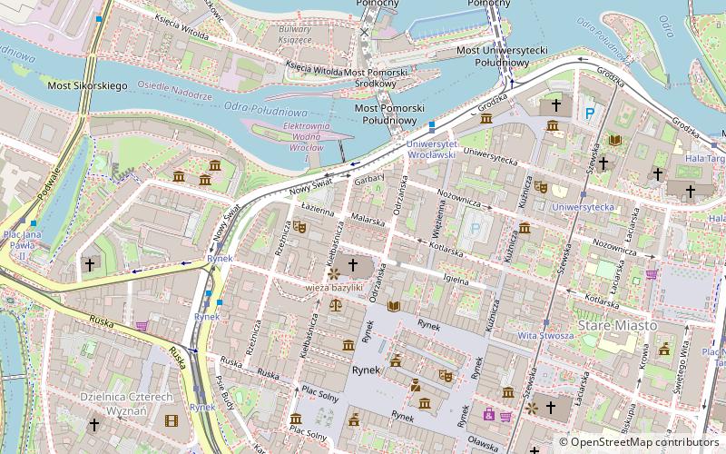
Map

Facts and practical information
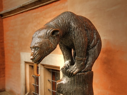
Stare Jatki in Wrocław - the historical name of a Wrocław street in the Old Town connecting Odrzańska Street with Kiełbaśnicza Street. 1-24 Malarska Street and Jatki are included in the register of monuments of Lower Silesia province.
Coordinates: 51°6'44"N, 17°1'50"E
Address
Stare MiastoWrocław
ContactAdd
Social media
Add
Day trips
Stare Jatki – popular in the area (distance from the attraction)
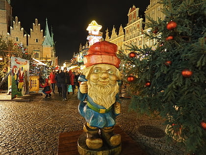
Nearby attractions include: Wrocław's dwarfs, Market, Aleksander Fredro Monument, Bear Fountain.
Frequently Asked Questions (FAQ)
Which popular attractions are close to Stare Jatki?
Nearby attractions include St. Elizabeth's Church, Wrocław (2 min walk), Wrocław's dwarfs, Wrocław (2 min walk), Krzesło, Wrocław (3 min walk), Dolnośląska Biblioteka Publiczna, Wrocław (3 min walk).
How to get to Stare Jatki by public transport?
The nearest stations to Stare Jatki:
Tram
Bus
Train
Tram
- Uniwersytet Wrocławski • Lines: 24, 6, 7 (4 min walk)
- Rynek • Lines: 10, 15, 20, 23, 24, 3, 33, 6, 7, 74 (5 min walk)
Bus
- Uniwersytet Wrocławski • Lines: 247, 248 (4 min walk)
- Rynek • Lines: 103, 104, 132, 142, 241, 243, 245, 247, 248, 253, 257, K (6 min walk)
Train
- Wrocław Nadodrze (24 min walk)
- Wrocław Szczepin (27 min walk)

