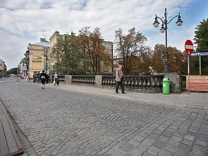
City Hall, Kalisz
Map
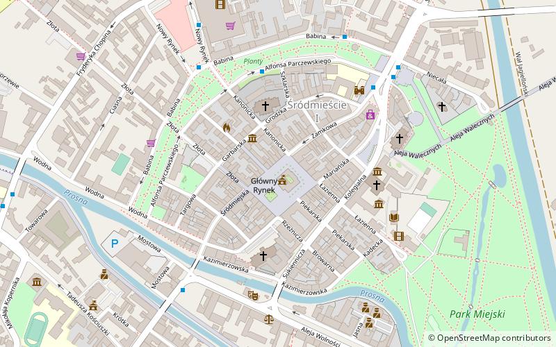
Map

Facts and practical information
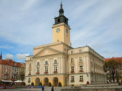
Kalisz Town Hall - a town hall in downtown Kalisz, neoclassical, built in 1920-1924 by the efforts of the Committee for Reconstruction of Kalisz, designed by Sylwester Pajzderski based on earlier designs by Stefan Szyller; entered in the register of monuments in 1993.
Architectural style: NeoclassicismCoordinates: 51°45'46"N, 18°5'23"E
Address
20 Główny RynekKalisz
ContactAdd
Social media
Add
Day trips
City Hall – popular in the area (distance from the attraction)
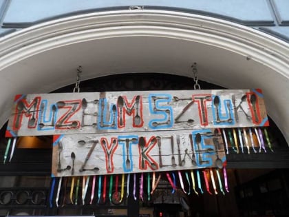
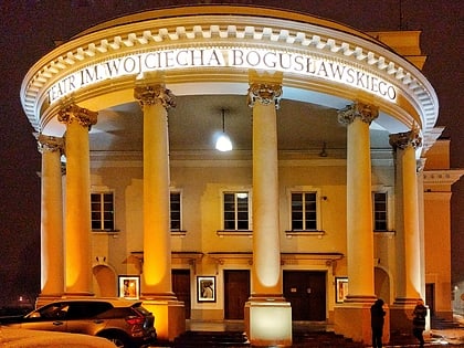
Nearby attractions include: Galeria Tęcza, Muzeum Okręgowe Ziemi Kaliskiej, Muzeum Osiakowskich, Teatr im. Wojciecha Bogusławskiego.
Frequently Asked Questions (FAQ)
Which popular attractions are close to City Hall?
Nearby attractions include Muzeum Osiakowskich, Kalisz (2 min walk), Katedra św. Mikołaja, Kalisz (3 min walk), Kościół św. Stanisława Biskupa Męczennika, Kalisz (3 min walk), Kościół św. Wojciecha i św. Stanisława Biskupa, Kalisz (4 min walk).
How to get to City Hall by public transport?
The nearest stations to City Hall:
Bus
Bus
- Parczewskiego • Lines: 10, 13, 5 (4 min walk)
- Nowy Rynek Babina • Lines: 10, 13, 5 (5 min walk)
