General Stefan "Grot" Rowecki Bridge, Warsaw
Map
Gallery
Facts and practical information
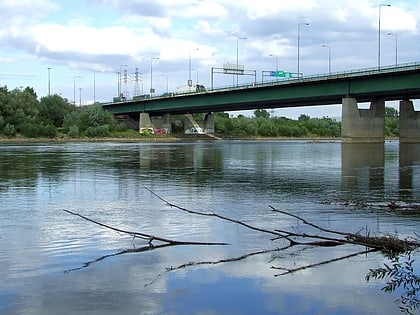
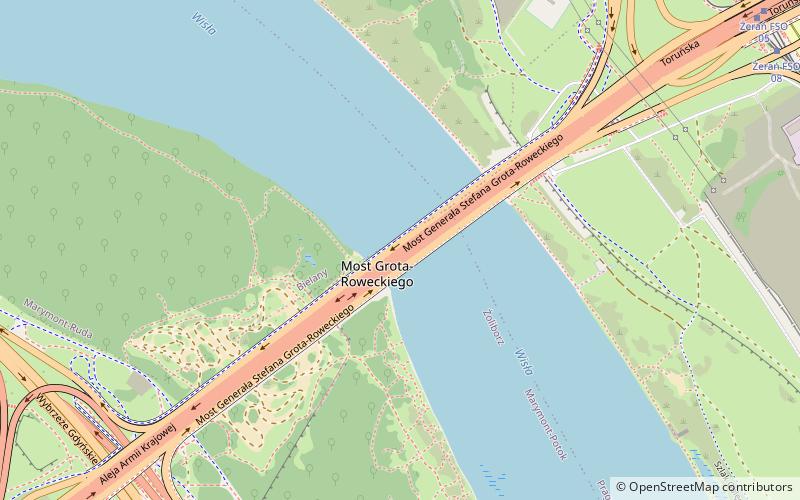
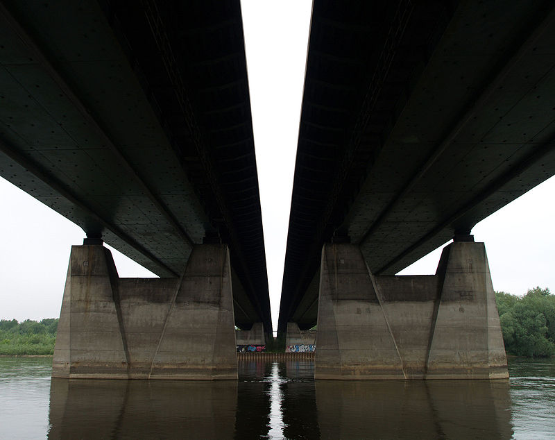
The General Stefan "Grot" Rowecki Bridge is a bridge over the Vistula River in Warsaw. It was built from 1977 to 1981 as part of the Trasa Toruńska major thoroughfare by Przedsiębiorstwo Robót Kolejowych No. 15 and Mostostal. Currently, it is also part of the planned S8 bypass of Warsaw. ()
Local name: Most gen. Stefana Grota-Roweckiego Length: 2116 ftWidth: 131 ftCoordinates: 52°17'14"N, 20°59'41"E
Address
Bielany (Marymont-Ruda)Warsaw
ContactAdd
Social media
Add
Day trips
General Stefan "Grot" Rowecki Bridge – popular in the area (distance from the attraction)
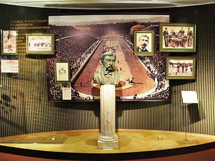
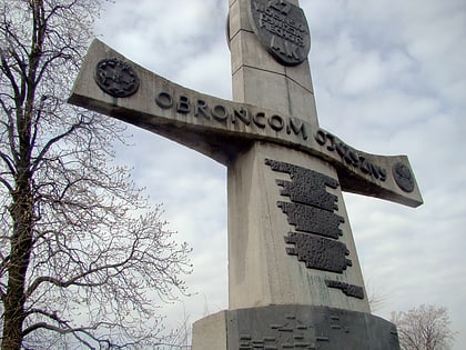
Nearby attractions include: Museum of Sport and Tourism, OSiR Żoliborz, Wilson Square, Monument to the Volhynia 27th Home Army Infantry Division.
Frequently Asked Questions (FAQ)
How to get to General Stefan "Grot" Rowecki Bridge by public transport?
The nearest stations to General Stefan "Grot" Rowecki Bridge:
Bus
Tram
Train
Metro
Bus
- Most Grota-Roweckiego 02 • Lines: 114, 118 (9 min walk)
- Żerań FSO 09 • Lines: 211, 516, N03 (10 min walk)
Tram
- Żerań FSO 08 • Lines: 18, 20 (10 min walk)
- Żerań FSO 06 • Lines: 18 (10 min walk)
Train
- Warszawa Toruńska (24 min walk)
- Warszawa Praga (35 min walk)
Metro
- Marymont • Lines: M1 (37 min walk)
