Plac Stanisława Staszica, Wrocław
Map
Gallery
Facts and practical information
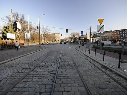
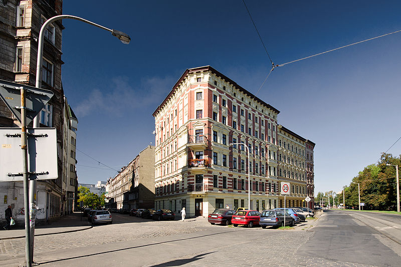
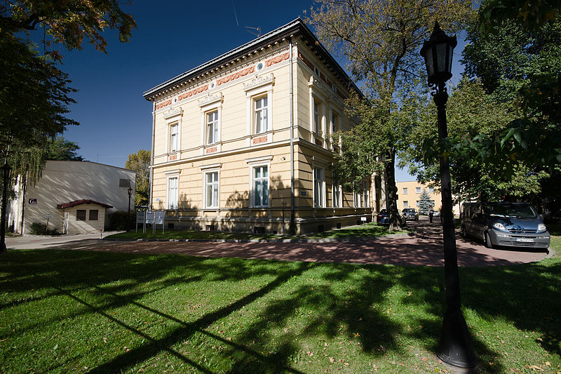
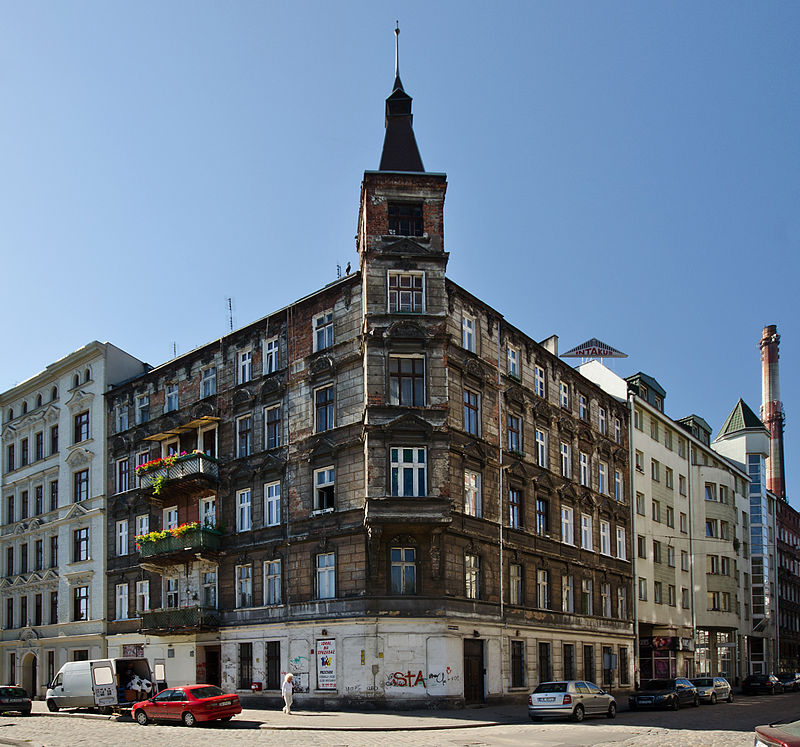
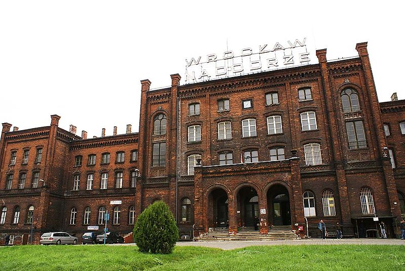
Stanisław Staszic Square - a square located in Wrocław on the Nadodrze estate, within the Śródmieście district. The square has a shape close to triangle, and the central element of its composition is Stanislaw Staszic park.
Elevation: 377 ft a.s.l.Coordinates: 51°7'22"N, 17°1'50"E
Address
Śródmieście (Plac Grunwaldzki)Wrocław
ContactAdd
Social media
Add
Day trips
Plac Stanisława Staszica – popular in the area (distance from the attraction)
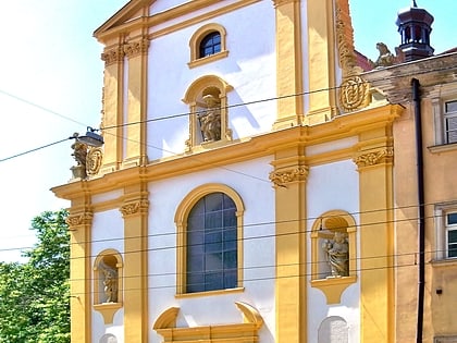
Nearby attractions include: Church of St Mary on the Sand, Wrocław's dwarfs, St. Elizabeth's Church, Sts. Cyril and Methodius Church.
Frequently Asked Questions (FAQ)
Which popular attractions are close to Plac Stanisława Staszica?
Nearby attractions include Zesłańcom Sybiru, Wrocław (1 min walk), Nadodrze, Wrocław (8 min walk), Muzeum Mineralogiczne, Wrocław (12 min walk), Pomnik Bohaterów Powstania Węgierskiego, Wrocław (12 min walk).
How to get to Plac Stanisława Staszica by public transport?
The nearest stations to Plac Stanisława Staszica:
Tram
Bus
Train
Tram
- Plac Staszica • Lines: 0L, 0P, 14, 15, 24, 6, 74 (1 min walk)
- Dworzec Nadodrze • Lines: 0L, 0P, 1, 24, 6, 7, 8 (6 min walk)
Bus
- Plac Staszica • Lines: 103, 104, 132, 142, 241, 257, C, K (1 min walk)
- Dworzec Nadodrze • Lines: 108, 132, 144, 240, 247, 248, 250, 257, 908 (6 min walk)
Train
- Wrocław Nadodrze (6 min walk)
- Wrocław Szczepin (19 min walk)
